Trail Walking Unknown - Andorre Estanys de Tristaina - Photo

Andorre Estanys de Tristaina

 Maryma
Maryma

User

© OpenStreetMap contributors
Length
Length
8 km
Max alt
Max alt
2543 m
Uphill gradient
Uphill gradient
581 m
Km-Effort
Km-Effort  
15.7 km
Min alt
Min alt
2249 m
Downhill gradient
Downhill gradient
581 m
Boucle
Boucle
Yes
Creation date :
2024-08-30 19:47:16.744
Updated on :
2024-08-31 17:53:57.334

(0 Reviews)

Walking
Walking
3h34
Difficulty : Difficult

Scan this QR Code to open this trail in the SityTrail application

FREE GPS app for hiking

Logo SityTrail SityTrail

IGN / Geographical institutes

Download SityTrail from the App Store Download SityTrail from Google Play

Logo SityTrail SityTrail World

The world is yours!

Download SityTrail from the App Store Download SityTrail from Google Play Download SityTrail on Huawei AppGallery

About

Trail Walking of 8 km to be discovered at Andorra. This trail is proposed by Maryma.

Description

Le parking le plus haut, celui d'Arcalis est fermé aux voitures et motos à partir de 8h30 et jusqu'à 17h30. Soit on passe avant cet horaire, soit on gare plus bas, au pied du télécabine et on rejoint Arcalis à pied, soit on prend le télécabine (20€).
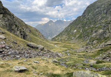
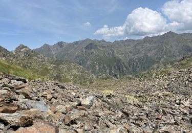
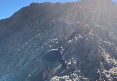
Le cirque de Tristaina est un entrelacement de chemins. Il y a les officiels GR et points jaunes et ceux qui sont visibles mais pas répertoriés. Il y a aussi la possibilité de faire des sommets, Costa de Radona, Tritaina, Creussans et la Punta de Peiraguils avec son mirador solaire, qui vaut le détour! Un télésiège y conduit!
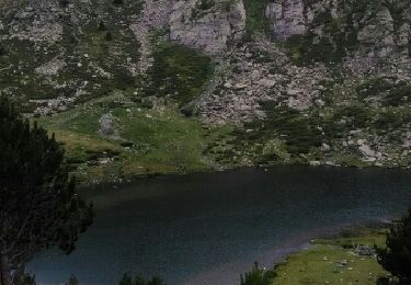
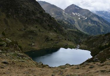
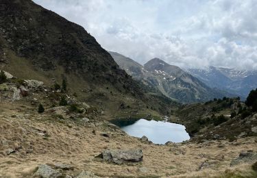
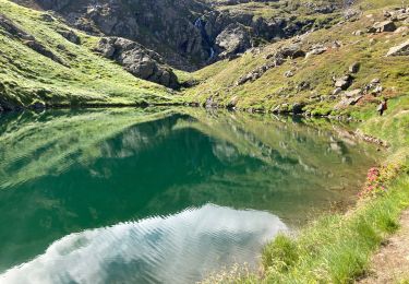
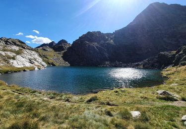
Des lacs magnifiques et sur la crête, on est sur la frontière avec la France.

Elevation profile

Positioning

Country:
Andorra
Region :
Unknown
Department/Province :
Unknown
Municipality :
Unknown
Location:
Unknown
Start:(UTM)
375459 ; 4721086 (31T) N.

Trails nearby

Trail Walking  - llorts_lac_angonella - Photo
Walking
fabtlsm

Walking

Very easy
(1)
, , , Andorra
10.4 km | 23 km-effort
5h 29min
Yes
Trail Walking Auzat - Les étangs de la Gardelle - Auzat - Photo
Walking
tracegps

Walking

Difficult
(2)
Auzat, Occitania, Ariège, France
8.3 km | 21 km-effort
6h 0min
Yes
Trail Walking  - 3 lacs d'Estany - Photo
Walking
LtZIP

Walking

Medium
, , , Andorra
4.5 km | 6.7 km-effort
1h 34min
Yes
Trail sport  - Arcalis  - Photo
sport
GUIDE
jouans

sport

Very easy
, , , Andorra
4.9 km | 7.6 km-effort
Unknown
Yes
Trail Walking Auzat - Domaine de Montcalm -port Rat Pic Rouge  - Photo
Walking
altaya

Walking

Very difficult
Auzat, Occitania, Ariège, France
17.1 km | 39 km-effort
10h 8min
Yes
Trail Walking Auzat - Tour des lacs - Sarroucanes - Photo
Walking
altaya

Walking

Very difficult
Auzat, Occitania, Ariège, France
16 km | 0 m-effort
8h 42min
No
Trail Walking Auzat - Caraussans - Photo
Walking
georghinio

Walking

Very difficult
Auzat, Occitania, Ariège, France
19.6 km | 41 km-effort
9h 16min
Yes
Trail Walking Auzat - Boucle etangs de la Gardelle - Photo
Walking
prous31

Walking

Difficult
Auzat, Occitania, Ariège, France
10.9 km | 23 km-effort
4h 45min
Yes
Trail Walking Auzat - Fourcat  - Photo
Walking
georghinio

Walking

Very difficult
Auzat, Occitania, Ariège, France
15.7 km | 31 km-effort
8h 7min
No


Close
My subscriptions