


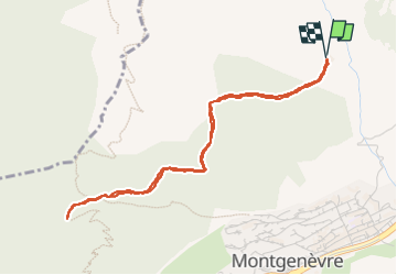

15.4 km | 32 km-effort

User GUIDE


FREE GPS app for hiking
 SityTrail
IGN / Geographical institutes
SityTrail World
The world is yours!
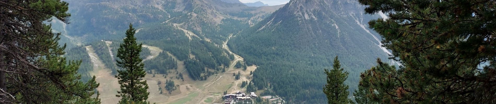
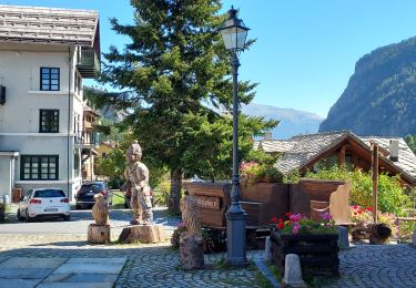
Trail Walking of 4.7 km to be discovered at Provence-Alpes-Côte d'Azur, Hautes-Alpes, Montgenèvre. This trail is proposed by Specialized77.
A/R depuis arrivée 1er tronçon télécabine Le Chalvet


Walking

Mountain bike

Walking

Walking

Walking

Walking

Walking

Mountain bike
Walking