9.5 km | 13.1 km-effort
Trace Lagraf Robert Guy
mitch1952
User
Length
11.2 km
Max alt
551 m
Uphill gradient
262 m
Km-Effort
14.6 km
Min alt
418 m
Downhill gradient
260 m
Boucle
Yes
Creation date :
2024-08-29 06:24:55.0
Updated on :
2024-08-29 13:01:11.727
FREE GPS app for hiking
About
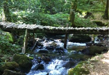
Trail of 11.2 km to be discovered at New Aquitaine, Corrèze, Ménoire. This trail is proposed by mitch1952.
Positioning
Country:
France
Region :
New Aquitaine
Department/Province :
Corrèze
Municipality :
Ménoire
Location:
Unknown
Start:(Dec)
Start:(UTM)
403809 ; 4995350 (31T) N.
Comments
Trails nearby
Les cascades de Murel
Walking
Medium
(2)
Albussac,
New Aquitaine,
Corrèze,
France
8.1 km | 11.3 km-effort
2h 30min
Yes
Albussac - Saint-Chamant - Forges
Running
Medium
(1)
Albussac,
New Aquitaine,
Corrèze,
France
22 km | 31 km-effort
Unknown
Yes
SityTrail - 2034969 - monts-et-vallees-de-lostanges-variante
Mountain bike
Difficult
(1)
Lostanges,
New Aquitaine,
Corrèze,
France
23 km | 34 km-effort
2h 22min
Yes
Roche de Vic depuis Mascheix
Mountain bike
Easy
(1)
Chenailler-Mascheix,
New Aquitaine,
Corrèze,
France
13.2 km | 17.5 km-effort
1h 8min
Yes
Lostanges
Walking
Medium
Lostanges,
New Aquitaine,
Corrèze,
France
13.9 km | 21 km-effort
4h 8min
Yes
menoir 2
Walking
Difficult
Ménoire,
New Aquitaine,
Corrèze,
France
11.3 km | 14.8 km-effort
3h 18min
Yes
gorges de mémoire et cascade gourlastine
Walking
Difficult
Chenailler-Mascheix,
New Aquitaine,
Corrèze,
France
10.6 km | 15 km-effort
4h 0min
No
lac des miel - Roche de vic
Nordic walking
Easy
Beynat,
New Aquitaine,
Corrèze,
France
16.3 km | 21 km-effort
3h 10min
Yes