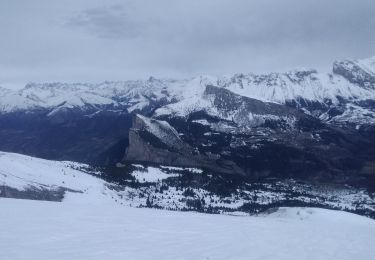
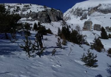
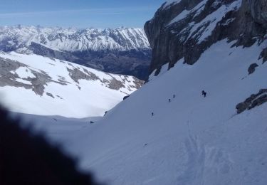
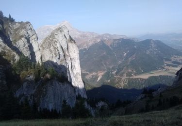
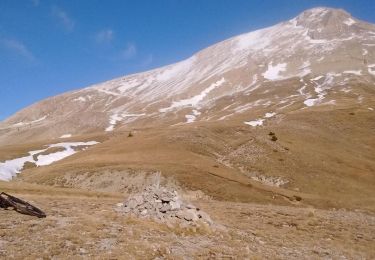
9 km | 16 km-effort
Baudinard et Faï
JP7755
User
Length
9 km
Max alt
1645 m
Uphill gradient
431 m
Km-Effort
14.8 km
Min alt
1253 m
Downhill gradient
433 m
Boucle
Yes
Creation date :
2024-08-28 12:56:53.0
Updated on :
2024-08-28 15:49:57.805
2h51
Difficulty : Unknown
FREE GPS app for hiking
About
Trail Walking of 9 km to be discovered at Provence-Alpes-Côte d'Azur, Hautes-Alpes, Le Dévoluy. This trail is proposed by JP7755.
Description
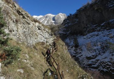
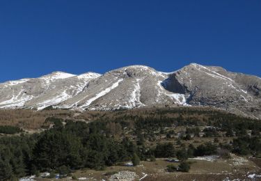
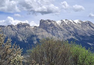
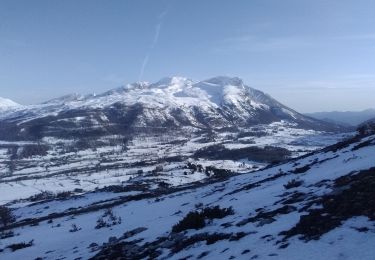
Randonnée après-midi
Positioning
Country:
France
Region :
Provence-Alpes-Côte d'Azur
Department/Province :
Hautes-Alpes
Municipality :
Le Dévoluy
Location:
Saint-Disdier
Start:(Dec)
Start:(UTM)
728657 ; 4956861 (31T) N.
Comments
Trails nearby
R29 La crete des Beaumes
Walking
Medium
(2)
Le Dévoluy,
Provence-Alpes-Côte d'Azur,
Hautes-Alpes,
France
3h 17min
Yes
R27 Les gorges du Rif
Walking
Easy
(1)
Le Dévoluy,
Provence-Alpes-Côte d'Azur,
Hautes-Alpes,
France
7.5 km | 11.5 km-effort
2h 27min
Yes
Pierre Baudinard
Walking
Difficult
Le Dévoluy,
Provence-Alpes-Côte d'Azur,
Hautes-Alpes,
France
11 km | 19.6 km-effort
4h 27min
Yes
L'Aiglière et serre de cheval
Touring skiing
Medium
Le Dévoluy,
Provence-Alpes-Côte d'Azur,
Hautes-Alpes,
France
10.9 km | 26 km-effort
6h 10min
Yes
col sou la tête d'oriol et crête de la clape
Touring skiing
Medium
Le Dévoluy,
Provence-Alpes-Côte d'Azur,
Hautes-Alpes,
France
14.6 km | 31 km-effort
6h 9min
Yes
Le Nid
Touring skiing
Difficult
Le Dévoluy,
Provence-Alpes-Côte d'Azur,
Hautes-Alpes,
France
15.8 km | 34 km-effort
8h 0min
Yes
le pas de la cloche.
Touring skiing
Difficult
Le Dévoluy,
Provence-Alpes-Côte d'Azur,
Hautes-Alpes,
France
7.1 km | 19.2 km-effort
6h 15min
No
Le Faraut. Pic pierroux
Walking
Medium
Le Dévoluy,
Provence-Alpes-Côte d'Azur,
Hautes-Alpes,
France
10.3 km | 25 km-effort
7h 10min
Yes
VTT31 - Col de Rabou
Mountain bike
Medium
Le Dévoluy,
Provence-Alpes-Côte d'Azur,
Hautes-Alpes,
France
19.7 km | 31 km-effort
1h 55min
Yes