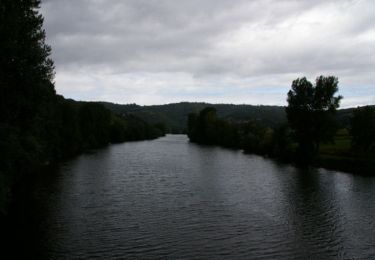
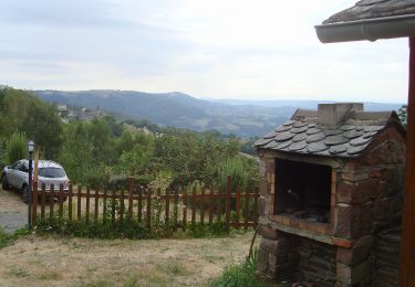
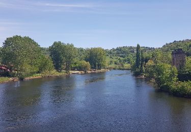
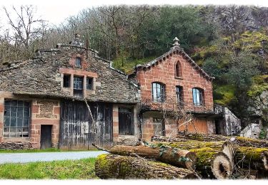
16.8 km | 23 km-effort
Noailles plus
JamesVautier
User
Length
17 km
Max alt
625 m
Uphill gradient
723 m
Km-Effort
27 km
Min alt
311 m
Downhill gradient
930 m
Boucle
No
Creation date :
2024-08-28 06:25:51.165
Updated on :
2024-08-28 13:27:34.89
3h39
Difficulty : Medium
FREE GPS app for hiking
About
Trail Walking of 17 km to be discovered at Occitania, Aveyron, Conques-en-Rouergue. This trail is proposed by JamesVautier.
Description
super, mais affaire par temps frais !
Positioning
Country:
France
Region :
Occitania
Department/Province :
Aveyron
Municipality :
Conques-en-Rouergue
Location:
Unknown
Start:(Dec)
Start:(UTM)
450500 ; 4934881 (31T) N.
Comments
Trails nearby
Noailhac - Livinhac le Haut - Chemin de St-Jacques de Compostelle
Walking
Difficult
(1)
Conques-en-Rouergue,
Occitania,
Aveyron,
France
3h 0min
No
TerraTrail 7
On foot
Easy
Conques-en-Rouergue,
Occitania,
Aveyron,
France
9.4 km | 15.8 km-effort
3h 36min
Yes
Terra Trail 4
On foot
Easy
Conques-en-Rouergue,
Occitania,
Aveyron,
France
10.3 km | 16 km-effort
3h 38min
Yes
Terra Trail 13
On foot
Medium
Conques-en-Rouergue,
Occitania,
Aveyron,
France
18 km | 27 km-effort
6h 11min
Yes
Conques Levinhac le Haut Avril 2018
Walking
Difficult
Conques-en-Rouergue,
Occitania,
Aveyron,
France
25 km | 36 km-effort
7h 4min
No
Conques
Walking
Very easy
Conques-en-Rouergue,
Occitania,
Aveyron,
France
10.9 km | 16.3 km-effort
3h 2min
Yes
Le Chemin de l'Oiseau
On foot
Easy
Conques-en-Rouergue,
Occitania,
Aveyron,
France
5 km | 7.9 km-effort
1h 47min
Yes
Sentier Conques - Grand-Vabre
On foot
Easy
Conques-en-Rouergue,
Occitania,
Aveyron,
France
4.9 km | 6.4 km-effort
1h 27min
No
Le Sentier de Saint-Roch
On foot
Easy
Conques-en-Rouergue,
Occitania,
Aveyron,
France
7.5 km | 11.3 km-effort
2h 33min
No