


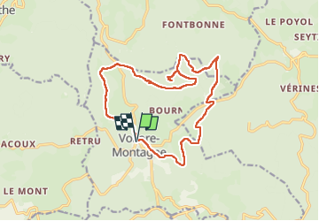

15.5 km | 22 km-effort


User


FREE GPS app for hiking
 SityTrail
IGN / Geographical institutes
SityTrail World
The world is yours!
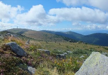
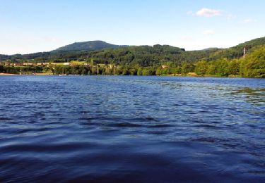
Trail Walking of 17 km to be discovered at Auvergne-Rhône-Alpes, Puy-de-Dôme, Vollore-Montagne. This trail is proposed by joelinou.
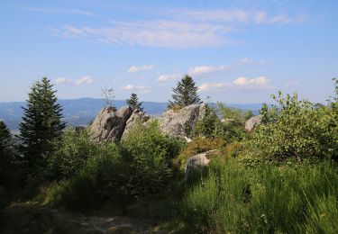
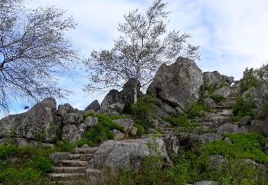
Magnifique rando en forêt avec un splendide panorama à pierre pamole en 360 degré


On foot

On foot
Walking

Walking
Walking
Walking

Walking

On foot
Walking