Trail Walking Blanzac - Rachat - Chapelle de Chassaleuil - Photo

Rachat - Chapelle de Chassaleuil

© OpenStreetMap contributors
Length
Length
10.3 km
Max alt
Max alt
903 m
Uphill gradient
Uphill gradient
104 m
Km-Effort
Km-Effort  
11.7 km
Min alt
Min alt
831 m
Downhill gradient
Downhill gradient
103 m
Boucle
Boucle
Yes
Creation date :
2024-08-25 13:10:58.0
Updated on :
2024-08-26 08:30:59.976

(0 Reviews)

Walking
Walking
3h00
Difficulty : Very easy

Scan this QR Code to open this trail in the SityTrail application

FREE GPS app for hiking

Logo SityTrail SityTrail

IGN / Geographical institutes

Download SityTrail from the App Store Download SityTrail from Google Play

Logo SityTrail SityTrail World

The world is yours!

Download SityTrail from the App Store Download SityTrail from Google Play Download SityTrail on Huawei AppGallery

About

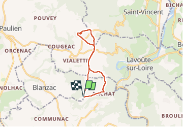
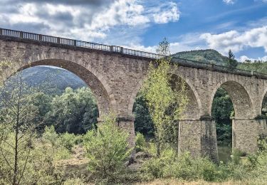
Trail Walking of 10.3 km to be discovered at Auvergne-Rhône-Alpes, Haute-Loire, Blanzac. This trail is proposed by Jean-MarieFaux.

Description

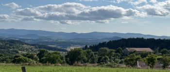
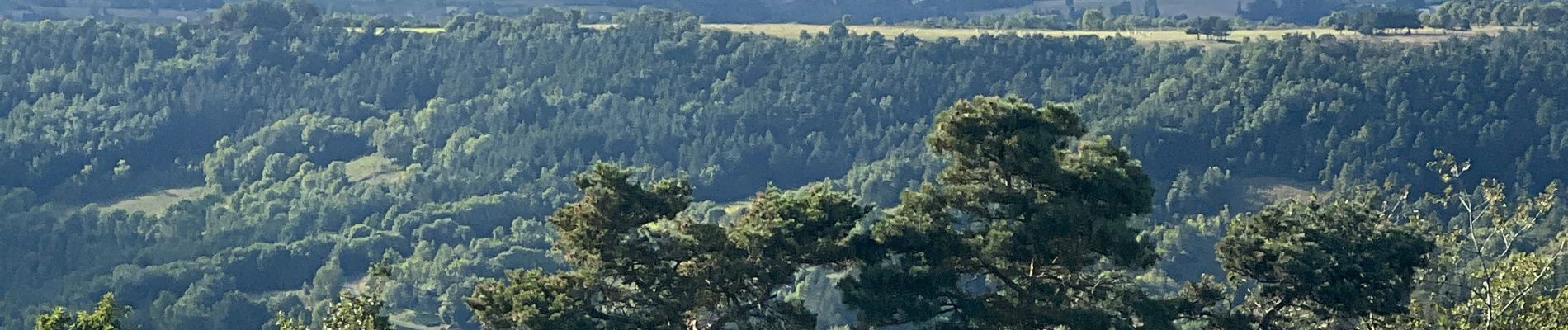
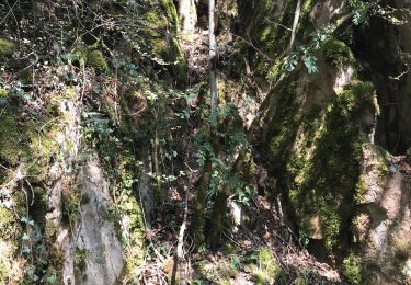
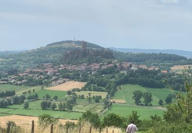
Circuit au départ de Rachat vers la chapelle de Chassaleuil, lieu historique et magnifique panorama sur tout le Velay et les Cévennes

Elevation profile

Photos

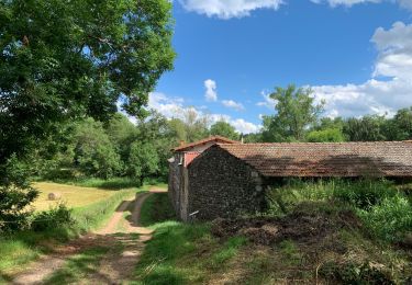
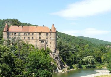
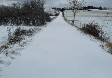
21 photos in total. Please click on a photo to see them all in the gallery.

Points of interest

Point of interest Saint-Paulien - Chapelle de Chassaleuil XVe siècle  - Photo
Jean-MarieFaux
Point of interest Lavoûte-sur-Loire - Point de vue sur la vallée de la Loire de aboute au Pertuis - Photo
Jean-MarieFaux

Positioning

Country:
France
Region :
Auvergne-Rhône-Alpes
Department/Province :
Haute-Loire
Municipality :
Blanzac
Location:
Unknown
Start:(UTM)
568329 ; 4994762 (31T) N.

Trails nearby

Trail Walking Polignac - Polignac-La Source_9,7 km - Photo
Walking
Pousscailleux

Walking

Medium
(2)
Polignac, Auvergne-Rhône-Alpes, Haute-Loire, France
9.7 km | 13.8 km-effort
3h 8min
Yes
Trail Walking Lavoûte-sur-Loire - lavoute chaspinhac - Photo
Walking
solignac43

Walking

Medium
(1)
Lavoûte-sur-Loire, Auvergne-Rhône-Alpes, Haute-Loire, France
16.3 km | 24 km-effort
5h 3min
Yes
Trail Walking Polignac - Polignac  - Photo
Walking
boyer43

Walking

Very difficult
(1)
Polignac, Auvergne-Rhône-Alpes, Haute-Loire, France
22 km | 30 km-effort
6h 47min
Yes
Trail Walking Lavoûte-sur-Loire - La voûte sur Loire  - Photo
Walking
Galoche

Walking

Medium
Lavoûte-sur-Loire, Auvergne-Rhône-Alpes, Haute-Loire, France
15.2 km | 21 km-effort
4h 1min
Yes
Trail Walking Polignac - Circuit autour de POLIGNAC - Photo
Walking
Jean-MarieFaux

Walking

Easy
(1)
Polignac, Auvergne-Rhône-Alpes, Haute-Loire, France
8.7 km | 11.4 km-effort
2h 21min
Yes
Trail Walking Saint-Paulien - St Paulien - LISSAC - Photo
Walking
Jean-MarieFaux

Walking

Easy
Saint-Paulien, Auvergne-Rhône-Alpes, Haute-Loire, France
6.2 km | 7.4 km-effort
1h 29min
No
Trail Cycle Chadrac - Un bout de chemin en compagnie du fleuve Loire - Chadrac - Photo
Cycle
tracegps

Cycle

Difficult
Chadrac, Auvergne-Rhône-Alpes, Haute-Loire, France
83 km | 104 km-effort
4h 30min
Yes
Trail Walking Lavoûte-sur-Loire - l - Photo
Walking
ricou1964

Walking

Medium
Lavoûte-sur-Loire, Auvergne-Rhône-Alpes, Haute-Loire, France
11.2 km | 16.2 km-effort
3h 55min
Yes
Trail Walking Lavoûte-sur-Loire - lavoute sur loire boucle 11 km - Photo
Walking
famillerudent

Walking

Medium
Lavoûte-sur-Loire, Auvergne-Rhône-Alpes, Haute-Loire, France
10.8 km | 15.5 km-effort
3h 13min
Yes


Close
My subscriptions