


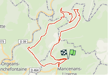


17.1 km | 25 km-effort


User


FREE GPS app for hiking
 SityTrail
IGN / Geographical institutes
SityTrail World
The world is yours!
Trail Walking of 13.3 km to be discovered at Bourgogne-Franche-Comté, Doubs, Mancenans-Lizerne. This trail is proposed by eltonnermou.
parking waroly château hermitage, peu de place !
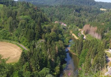
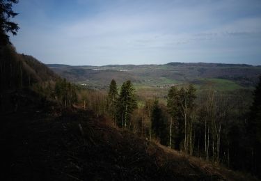
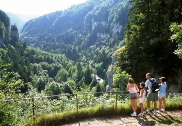
belle randonnée avec une alternance boisée, avec multiple essence ;et prairie ; mais aussi dans les chemins = un vrai plaisir. Vous pourrez apprécier la vue que vous offre les divers points ... de vue.
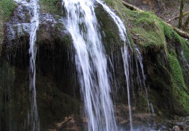
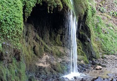
N'hésitez pas à effectuer l'aller et retour aux grottes, la troisième est visitable, pour les adeptes équipés, et fait une boucle.
Et comme en pareil site, laissez-vous surprendre par la faune, et émerveiller par la flore ... sans la cueillir.


24 photos in total. Please click on a photo to see them all in the gallery.
Walking
Walking
Walking

Walking
On foot
Cycle
Walking
Walking
Walking