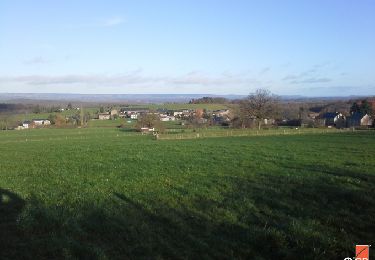
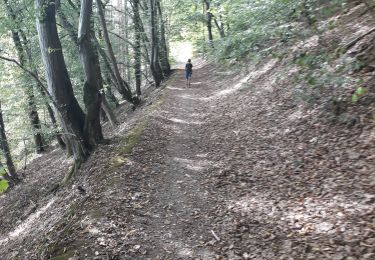
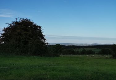
16.8 km | 22 km-effort
Soy definitif
BrigitteBertrand
User
Length
13.7 km
Max alt
393 m
Uphill gradient
343 m
Km-Effort
18.3 km
Min alt
234 m
Downhill gradient
359 m
Boucle
No
Creation date :
2024-08-25 09:26:37.0
Updated on :
2024-08-25 17:17:25.32
4h09
Difficulty : Difficult
FREE GPS app for hiking
About
Trail Walking of 13.7 km to be discovered at Wallonia, Luxembourg, Érezée. This trail is proposed by BrigitteBertrand.
Description
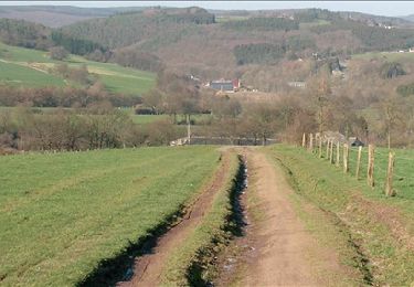
Des chemins champêtres ou forestiers aux abords de la Lisebelle
Positioning
Country:
Belgium
Region :
Wallonia
Department/Province :
Luxembourg
Municipality :
Érezée
Location:
Unknown
Start:(Dec)
Start:(UTM)
678896 ; 5573068 (31U) N.
Comments
Trails nearby
RB-Lu-02- Raccourci - Entre Aisne et Ourthe, en s’attardant dans le vallon d...
Walking
Easy
(5)
Érezée,
Wallonia,
Luxembourg,
Belgium
6h 2min
Yes
RF-Lu-01 - De dolmens en menhirs autour de Wéris
Walking
Very easy
(7)
Durbuy,
Wallonia,
Luxembourg,
Belgium
12.7 km | 16.5 km-effort
3h 32min
Yes
RF-Lu-03 Sur la Calestienne, entre Ardenne et Famenne : Hotton
Walking
Very easy
(3)
Hotton,
Wallonia,
Luxembourg,
Belgium
11.7 km | 15.3 km-effort
3h 16min
Yes
RB-Lu-02- Entre Aisne et Ourthe, en s’attardant dans le vallon du ruisseau de...
Walking
Difficult
(4)
Érezée,
Wallonia,
Luxembourg,
Belgium
25 km | 33 km-effort
6h 42min
Yes
entre le menhir Pire Hena et le dolmen de Weris ... wouai...
Walking
Very easy
(1)
Durbuy,
Wallonia,
Luxembourg,
Belgium
6 km | 7.9 km-effort
2h 0min
Yes
rando amonines 26/10/2020
Walking
Medium
(1)
Érezée,
Wallonia,
Luxembourg,
Belgium
13.3 km | 18 km-effort
3h 2min
Yes
Papillon de Fanzel-12
Walking
Difficult
(1)
Érezée,
Wallonia,
Luxembourg,
Belgium
11.9 km | 17.5 km-effort
3h 39min
Yes
WERIS ... et ses Mégalithes.
Walking
Easy
(1)
Durbuy,
Wallonia,
Luxembourg,
Belgium
10.9 km | 14.9 km-effort
2h 21min
Yes