


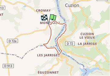

18.5 km | 24 km-effort


User


FREE GPS app for hiking
 SityTrail
IGN / Geographical institutes
SityTrail World
The world is yours!
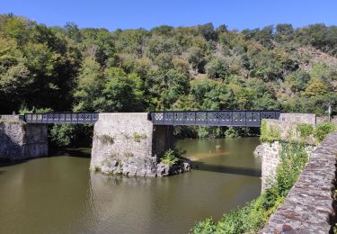
Trail Walking of 4.5 km to be discovered at Centre-Loire Valley, Indre, Baraize. This trail is proposed by nicolashe24.
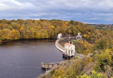
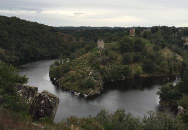
boucle de Montcocu en passant par la passerelle et le pont des piles

Walking
Walking
Walking

On foot
Walking

Walking
Walking
Walking
Walking