


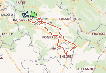

45 km | 52 km-effort


User


FREE GPS app for hiking
 SityTrail
IGN / Geographical institutes
SityTrail World
The world is yours!
Trail Walking of 14.9 km to be discovered at Occitania, Aveyron, Sainte-Radegonde. This trail is proposed by chantal12.
suivre balisage GR 62 (nouveau et ancien) et PR .
Mountain bike

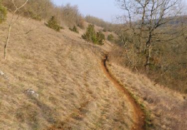
On foot

On foot

On foot

On foot

On foot

On foot
On foot

Walking