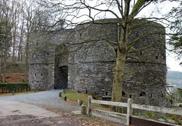
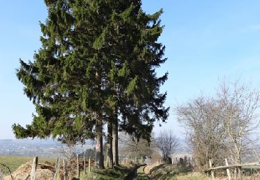
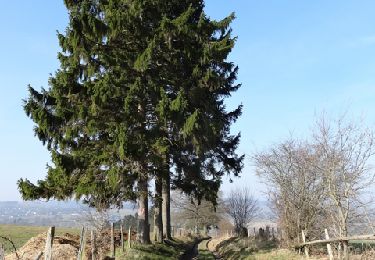
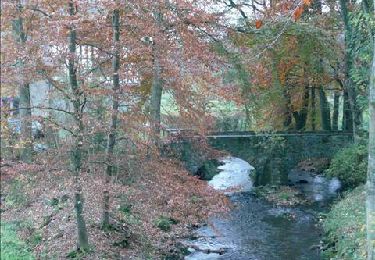
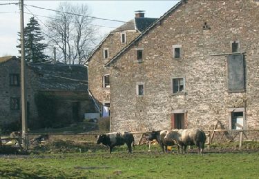
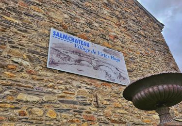
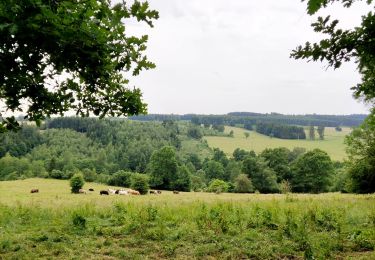
11.6 km | 15.6 km-effort
Goronne
© OpenStreetMap contributors
Length
10.2 km
Max alt
547 m
Uphill gradient
199 m
Km-Effort
12.9 km
Min alt
413 m
Downhill gradient
199 m
Boucle
Yes
Creation date :
2024-08-25 06:55:50.0
Updated on :
2024-08-25 09:45:21.624
FREE GPS app for hiking
About
Trail of 10.2 km to be discovered at Wallonia, Luxembourg, Vielsalm. This trail is proposed by 000726.2a195e2ca6ea490a969cabf3b81332cb.1058.
Description
Facile et agréable malgré quelques difficultés
Positioning
Country:
Belgium
Region :
Wallonia
Department/Province :
Luxembourg
Municipality :
Vielsalm
Location:
Unknown
Start:(Dec)
Start:(UTM)
704294 ; 5574958 (31U) N.
Comments
Trails nearby
2023-04-02_15h38m24_Cirkwi-Vielsalm___Pays_du_bois,_de_la_pierre_de_l_eau
Walking
Medium
(2)
Vielsalm,
Wallonia,
Luxembourg,
Belgium
3h 32min
Yes
GG-Lu-16_Vielsalm - Gouvy
Walking
Very difficult
(3)
Vielsalm,
Wallonia,
Luxembourg,
Belgium
16 km | 22 km-effort
4h 48min
No
RB-Lg-25_Arbrefontaine_via-racc-2
Walking
(3)
Lierneux,
Wallonia,
Liège,
Belgium
17.7 km | 23 km-effort
5h 12min
Yes
RB-Lg-25_Arbrefontaine
Walking
(4)
Lierneux,
Wallonia,
Liège,
Belgium
25 km | 33 km-effort
7h 25min
Yes
RB-LUX-03 - Raccourci - Dans les vallées de la Salm et du Glain
Walking
Easy
(4)
Vielsalm,
Wallonia,
Luxembourg,
Belgium
16.8 km | 23 km-effort
3h 36min
Yes
RB-LUX-03 - Dans les vallées de la Salm et du Glain
Walking
Medium
(4)
Vielsalm,
Wallonia,
Luxembourg,
Belgium
22 km | 30 km-effort
6h 10min
Yes
O2bikers_151_petit_sart
Mountain bike
Very easy
(1)
Lierneux,
Wallonia,
Liège,
Belgium
38 km | 50 km-effort
6h 44min
Yes
Balade à Salmchateau
Walking
Difficult
Vielsalm,
Wallonia,
Luxembourg,
Belgium
9.8 km | 13.4 km-effort
3h 2min
Yes
La nature en questions
Walking
Medium
Vielsalm,
Wallonia,
Luxembourg,
Belgium
7 km | 9.8 km-effort
2h 13min
Yes