


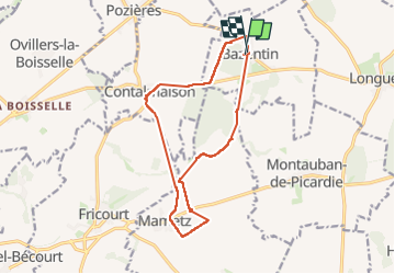

18.4 km | 21 km-effort


User


FREE GPS app for hiking
 SityTrail
IGN / Geographical institutes
SityTrail World
The world is yours!
Trail Walking of 13 km to be discovered at Hauts-de-France, Somme, Bazentin. This trail is proposed by José800.
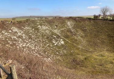
une très jolie randonnée historique dans un cadre verdoyant.


Walking

Walking

Walking
Walking