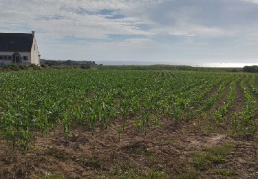
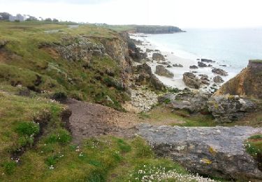
7 km | 8 km-effort
Porspoder lavoirs, Chapelle de Larret 14km
chrochas
User
Length
13.6 km
Max alt
56 m
Uphill gradient
100 m
Km-Effort
15 km
Min alt
0 m
Downhill gradient
100 m
Boucle
Yes
Creation date :
2024-08-22 08:44:32.804
Updated on :
2024-08-22 15:11:03.242
3h24
Difficulty : Difficult
FREE GPS app for hiking
About
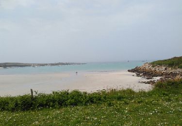
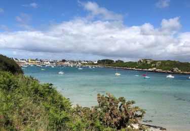
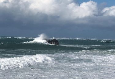
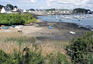
Trail Walking of 13.6 km to be discovered at Brittany, Finistère, Porspoder. This trail is proposed by chrochas.
Description
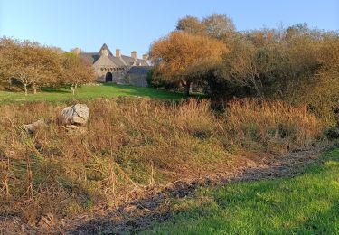
Le chemin vers la Chapelle est un peu monotone.
La randonnée à l'intérieur des terres peut être faite à vélo.
Positioning
Country:
France
Region :
Brittany
Department/Province :
Finistère
Municipality :
Porspoder
Location:
Unknown
Start:(Dec)
Start:(UTM)
369655 ; 5374344 (30U) N.
Comments
Trails nearby
portsall
Other activity
Very easy
(1)
Ploudalmézeau,
Brittany,
Finistère,
France
11.9 km | 13.6 km-effort
2h 37min
Yes
Portsall Tréompan 16km
Road bike
Easy
(1)
Landunvez,
Brittany,
Finistère,
France
16 km | 17.4 km-effort
1h 3min
Yes
porspoder
Nordic walking
Very easy
Porspoder,
Brittany,
Finistère,
France
13.2 km | 14.4 km-effort
3h 13min
Yes
Tremazan
Walking
Very easy
Landunvez,
Brittany,
Finistère,
France
6.2 km | 6.9 km-effort
2h 0min
Yes
Aber Ildut - Tremazan
Walking
Easy
Lanildut,
Brittany,
Finistère,
France
19.5 km | 22 km-effort
4h 42min
No
Circuit de la pointe Garchine par les terres.
Walking
Very easy
(1)
Porspoder,
Brittany,
Finistère,
France
9.3 km | 10.5 km-effort
2h 57min
Yes