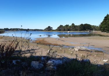
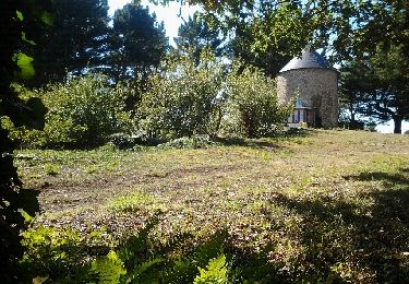
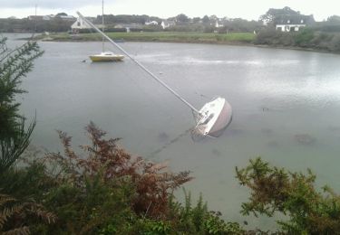
13.3 km | 14.5 km-effort
56-Belz_sentier_cotier_11kmD70m
SyMA
User
Length
11 km
Max alt
18 m
Uphill gradient
76 m
Km-Effort
12 km
Min alt
0 m
Downhill gradient
76 m
Boucle
Yes
Creation date :
2024-08-21 08:01:32.514
Updated on :
2024-08-21 16:34:56.573
2h55
Difficulty : Easy
FREE GPS app for hiking
About
Trail Walking of 11 km to be discovered at Brittany, Morbihan, Belz. This trail is proposed by SyMA.
Description
Quelques places de Parking devant école (attention il y a zone bleue à coté)
sentier côtier très bien refait et complétement emprunté
Positioning
Country:
France
Region :
Brittany
Department/Province :
Morbihan
Municipality :
Belz
Location:
Unknown
Start:(Dec)
Start:(UTM)
487360 ; 5280255 (30T) N.
Comments
Trails nearby
D'Etel au Pont Laurois par les deux côtés de la Ria
Nordic walking
Easy
(2)
Plouhinec,
Brittany,
Morbihan,
France
2h 25min
No
PR_56_Plouhinec_AA_01_Circuit1b_La-Ria-Par-Les-Pinedes_20200712
Walking
Very easy
(2)
Plouhinec,
Brittany,
Morbihan,
France
9.7 km | 10.6 km-effort
2h 14min
Yes
Rivière d'Etel
Walking
Medium
(1)
Plouhinec,
Brittany,
Morbihan,
France
15.4 km | 16.7 km-effort
3h 42min
Yes
Bignac 05-11-17 .
Nordic walking
Very easy
(1)
Belz,
Brittany,
Morbihan,
France
9.8 km | 10.7 km-effort
1h 53min
Yes
L 'Île de Saint Cado (07- 06-15
Walking
Very easy
(1)
Belz,
Brittany,
Morbihan,
France
2.2 km | 2.4 km-effort
55min
Yes
D'Etel au Narbon
Other activity
Very easy
(1)
Étel,
Brittany,
Morbihan,
France
8.2 km | 8.8 km-effort
1h 30min
No
tour ria etel bretagne
Walking
Easy
(1)
Plouhinec,
Brittany,
Morbihan,
France
15.3 km | 16.8 km-effort
3h 57min
Yes