


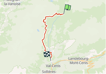

12.4 km | 26 km-effort


User


FREE GPS app for hiking
 SityTrail
IGN / Geographical institutes
SityTrail World
The world is yours!
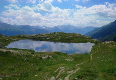
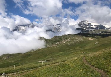
Trail Walking of 18.1 km to be discovered at Auvergne-Rhône-Alpes, Savoy, Val-Cenis. This trail is proposed by c.gourme.
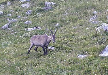
Prendre la navette à Termignon beau parcours en balcon
Walking
Walking

Walking
On foot
Walking

Walking
Walking

Walking
Walking