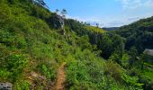
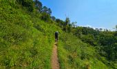
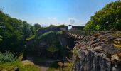
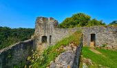
Trail Walking Ferrières - Balade à Vieuxville - Photo

Balade à Vieuxville

 Desrumaux
Desrumaux

User GUIDE

© OpenStreetMap contributors
Length
Length
7.7 km
Max alt
Max alt
242 m
Uphill gradient
Uphill gradient
211 m
Km-Effort
Km-Effort  
10.5 km
Min alt
Min alt
137 m
Downhill gradient
Downhill gradient
210 m
Boucle
Boucle
Yes
Creation date :
2024-08-19 08:13:51.295
Updated on :
2024-08-24 08:28:28.643

(0 Reviews)

Walking
Walking
2h22
Difficulty : Medium

Scan this QR Code to open this trail in the SityTrail application

FREE GPS app for hiking

Logo SityTrail SityTrail
IGN / Geographical institutes

Download SityTrail from the App Store Download SityTrail from Google Play

Logo SityTrail SityTrail World
The world is yours!

Download SityTrail from the App Store Download SityTrail from Google Play Download SityTrail on Huawei AppGallery

About

Trail Walking of 7.7 km to be discovered at Wallonia, Liège, Ferrières. This trail is proposed by Desrumaux.

Description

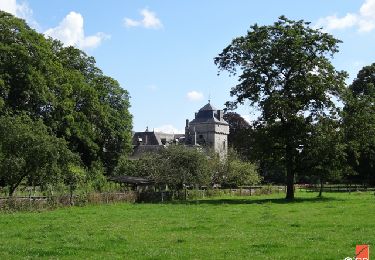
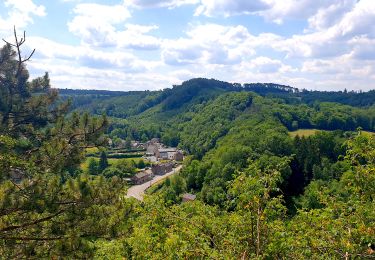
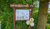
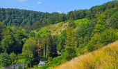
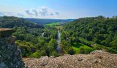
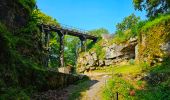
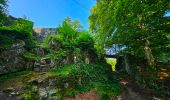
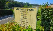
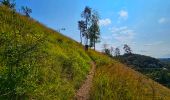
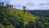
Très jolie balade au départ du village de Vieuxville dans l'entité de Ferrières en Province de Liège.
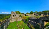
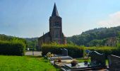
Le village de Vieuxville situé sur la rive droite de la Lembrée, un affluent de l’Ourthe ici toute proche, est très riche d’histoire, avec le château-fort de Logne, le cimetière mérovingien et sa chapelle romane, les fermes de la Bouverie et de Palogne.

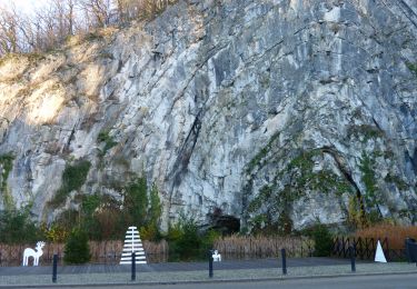
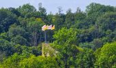
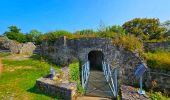
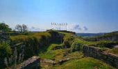
Site remarquable de l’Ourthe liégeoise, le château fort de Logne a toujours été le refuge naturel des habitants de la vallée. Perché au sommet d’un éperon rocheux creusé de cavernes, il offre une vue exceptionnelle sur la vallée et sur les crêtes de l’Ardenne.
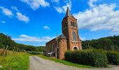
Départ église de Vieuxville.

Elevation profile

Photos

27 photos in total. Please click on a photo to see them all in the gallery.

Positioning

Country:
Belgium
Region :
Wallonia
Department/Province :
Liège
Municipality :
Ferrières
Location:
Unknown
Start:(UTM)
681329 ; 5585724 (31U) N.

Trails nearby

Trail Walking Hamoir - RB-Lg-19_Hamoir - Photo
Walking
PRO

Walking

Very difficult
(6)
Hamoir, Wallonia, Liège, Belgium
22 km | 28 km-effort
6h 18min
Yes
Trail Walking Durbuy - RF-Lu-02 - Variante Ravel - Au fils de l'Ourthe : Barvaux - Photo
Walking
PRO

Walking

Very easy
(6)
Durbuy, Wallonia, Luxembourg, Belgium
10.5 km | 13.1 km-effort
2h 45min
Yes
Trail Walking Durbuy - Balade à Bomal sur Ourthe - Photo
Walking
GUIDE
Desrumaux

Walking

Easy
(4)
Durbuy, Wallonia, Luxembourg, Belgium
4.4 km | 5.9 km-effort
1h 20min
Yes
Trail Walking Hamoir - HAMOIR (Vallée du Neblon) - Photo
Walking
GUIDE
Michel1963

Walking

Medium
(1)
Hamoir, Wallonia, Liège, Belgium
8.6 km | 11.4 km-effort
2h 28min
Yes
Trail Walking Ferrières - GG-Lu-15_Sy - Barvaux - Photo
Walking
PRO

Walking

Very difficult
(1)
Ferrières, Wallonia, Liège, Belgium
18.9 km | 26 km-effort
5h 58min
No
Trail Walking Durbuy - GG2-Lu-36_Bomal-Marloie (2021-11-04) - Photo
Walking
PRO

Walking

Medium
(2)
Durbuy, Wallonia, Luxembourg, Belgium
43 km | 52 km-effort
11h 51min
No
Trail Walking Durbuy - Barvaux - Photo
Walking
GUIDE
Michel1963

Walking

Easy
(5)
Durbuy, Wallonia, Luxembourg, Belgium
4.6 km | 6.1 km-effort
1h 4min
Yes
Trail Walking Hamoir - Hamoir - Sy - Les Crêtes  - Photo
Walking
GUIDE
Michel1963

Walking

Medium
(1)
Hamoir, Wallonia, Liège, Belgium
13.1 km | 17.2 km-effort
3h 17min
Yes
Trail Walking Durbuy - Sur les dessus de Bomal - Photo
Walking
francineposkin

Walking

Easy
(3)
Durbuy, Wallonia, Luxembourg, Belgium
6.7 km | 9 km-effort
1h 41min
Yes


Close
My subscriptions