


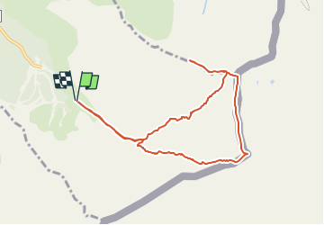

5.4 km | 8.6 km-effort


User


FREE GPS app for hiking
 SityTrail
IGN / Geographical institutes
SityTrail World
The world is yours!
Trail Walking of 9.4 km to be discovered at Occitania, Pyrénées-Orientales, Err. This trail is proposed by SoleilMoussanais.
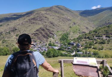
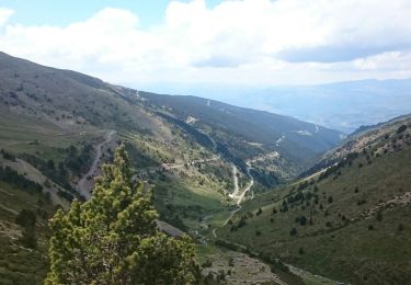
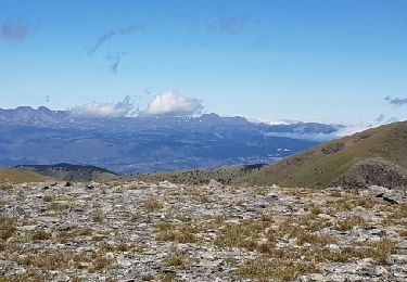
A la frontière franco-espagnole, le massif du Puigmal constitue une succession de sommets offrant de superbes point de vue sur la Cerdagne et la Catalogne.
Walking

Walking

Walking

Snowshoes
Walking
Walking

Walking

Snowshoes

Walking