


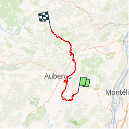


29 km | 39 km-effort


User


FREE GPS app for hiking
 SityTrail
IGN / Geographical institutes
SityTrail World
The world is yours!
Trail Motor of 67 km to be discovered at Auvergne-Rhône-Alpes, Ardèche, Villeneuve-de-Berg. This trail is proposed by rodo6269.
Villeneuve de berg mezilhac 07
Mountain bike
Walking
Walking

Walking
Walking
Other activity
Walking
Walking
Walking
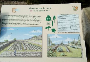
respecter la nature et refermé les portails après ouverture
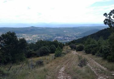
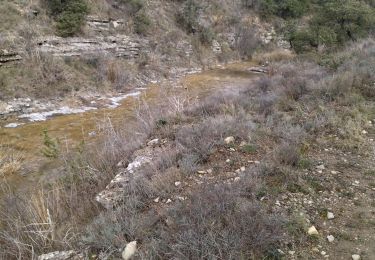
randonnée 4x4 pas de difficultés pour etre sur la faire a deux véhicule .penser a refermer les portail si ouverture de ces derniers beau paysage .a éviter par temp de pluie car passage caillouteux donc glissant .RESPECT de la nature merci