


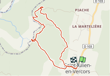

16.5 km | 34 km-effort

User


FREE GPS app for hiking
 SityTrail
IGN / Geographical institutes
SityTrail World
The world is yours!
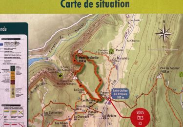
Trail Walking of 5.4 km to be discovered at Auvergne-Rhône-Alpes, Drôme, Saint-Julien-en-Vercors. This trail is proposed by Vero7684.
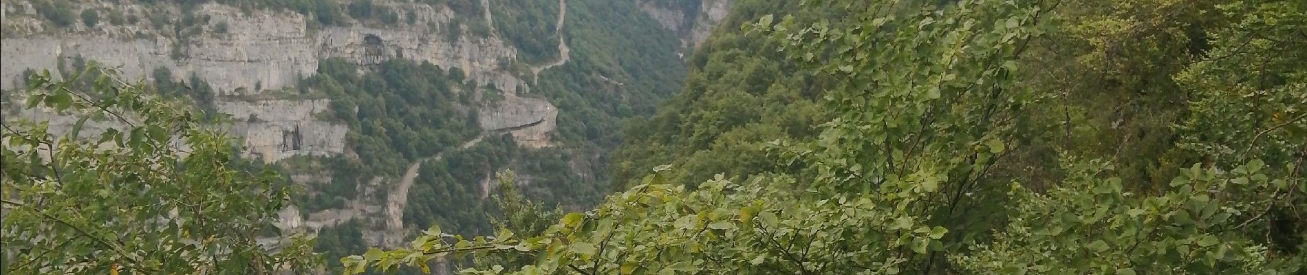
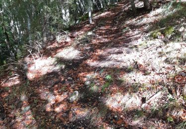
Glissant par temps de pluie et attention aux jeunes enfants aérien


Walking

Walking

On foot
Walking

Walking

Walking
Other activity

Walking

sport