


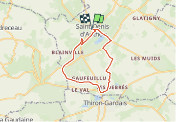

9.4 km | 11.4 km-effort
![Trail Mountain bike Saintigny - [Itinéraire] La vallée de la Vinette - Photo](https://media.geolcdn.com/t/1900/400/ext.pjpeg?maxdim=2&url=https%3A%2F%2Fstatic1.geolcdn.com%2Fsiteimages%2Fupload%2Ffiles%2F1524743154velo.jpg)

User


FREE GPS app for hiking
 SityTrail
IGN / Geographical institutes
SityTrail World
The world is yours!
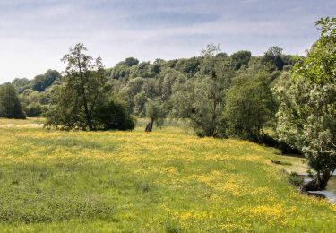
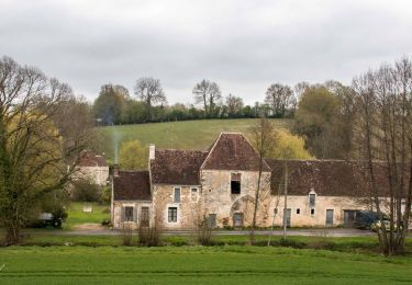
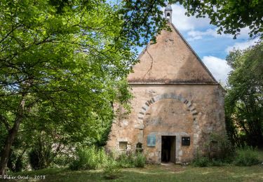
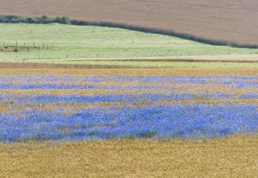
Trail Mountain bike of 11.1 km to be discovered at Centre-Loire Valley, Eure-et-Loir, Saintigny. This trail is proposed by ODDAD78.
Walking
Walking
Walking
Walking

Walking
Walking
Walking

Walking
Walking