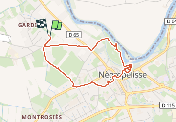
11.6 km | 12.5 km-effort
Negrepelisse
helmut68
User
Length
4.5 km
Max alt
108 m
Uphill gradient
34 m
Km-Effort
5 km
Min alt
87 m
Downhill gradient
34 m
Boucle
Yes
Creation date :
2024-08-16 13:53:01.112
Updated on :
2024-08-16 15:59:50.071
1h30
Difficulty : Easy
FREE GPS app for hiking
About
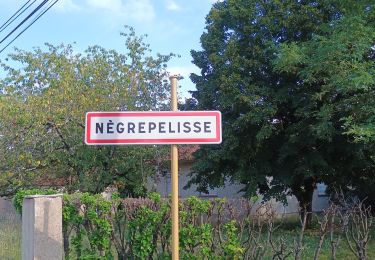
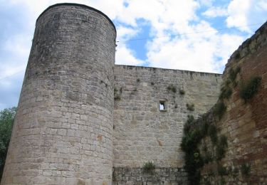
Trail Walking of 4.5 km to be discovered at Occitania, Tarn-et-Garonne, Nègrepelisse. This trail is proposed by helmut68.
Description
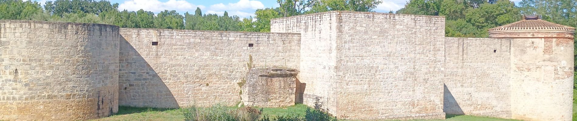
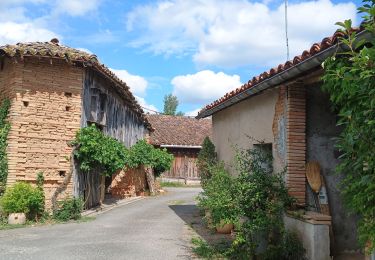
Découvrir une petite ville avec sa belle rivière et son château 18 ème siècle...
Positioning
Country:
France
Region :
Occitania
Department/Province :
Tarn-et-Garonne
Municipality :
Nègrepelisse
Location:
Unknown
Start:(Dec)
Start:(UTM)
380685 ; 4881943 (31T) N.
Comments
Trails nearby
Parcours des 7 ponts
Walking
Easy
Nègrepelisse,
Occitania,
Tarn-et-Garonne,
France
5.5 km | 5.9 km-effort
1h 36min
Yes
Circuit des terres de l'Aveyron - Nègrepelisse
Mountain bike
Medium
(1)
Nègrepelisse,
Occitania,
Tarn-et-Garonne,
France
16.1 km | 17.5 km-effort
1h 15min
Yes
Circuit des terres de l'Aveyron - Nègrepelisse
Walking
Difficult
(1)
Nègrepelisse,
Occitania,
Tarn-et-Garonne,
France
16.1 km | 17.5 km-effort
4h 0min
Yes
tour Albias
Bicycle tourism
Easy
Albias,
Occitania,
Tarn-et-Garonne,
France
11.4 km | 12.1 km-effort
53min
Yes
marche du 290617
Walking
Very easy
Bioule,
Occitania,
Tarn-et-Garonne,
France
6.4 km | 6.9 km-effort
1h 3min
No
Bioule pr 2
sport
Very easy
Bioule,
Occitania,
Tarn-et-Garonne,
France
10.9 km | 11.8 km-effort
Unknown
Yes
Bioule
Walking
Very easy
Bioule,
Occitania,
Tarn-et-Garonne,
France
10.9 km | 11.8 km-effort
2h 45min
Yes