


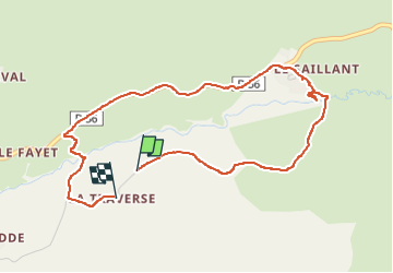

12.7 km | 16.8 km-effort

User


FREE GPS app for hiking
 SityTrail
IGN / Geographical institutes
SityTrail World
The world is yours!
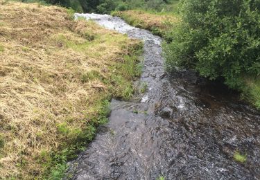
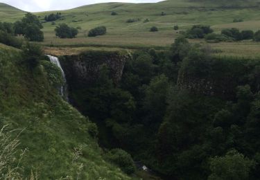
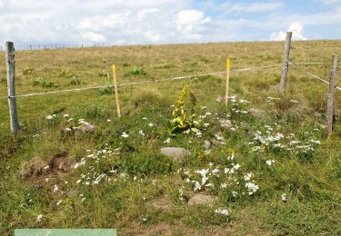
Trail Walking of 4.7 km to be discovered at Auvergne-Rhône-Alpes, Cantal, Marcenat. This trail is proposed by Jean Yves Erard.
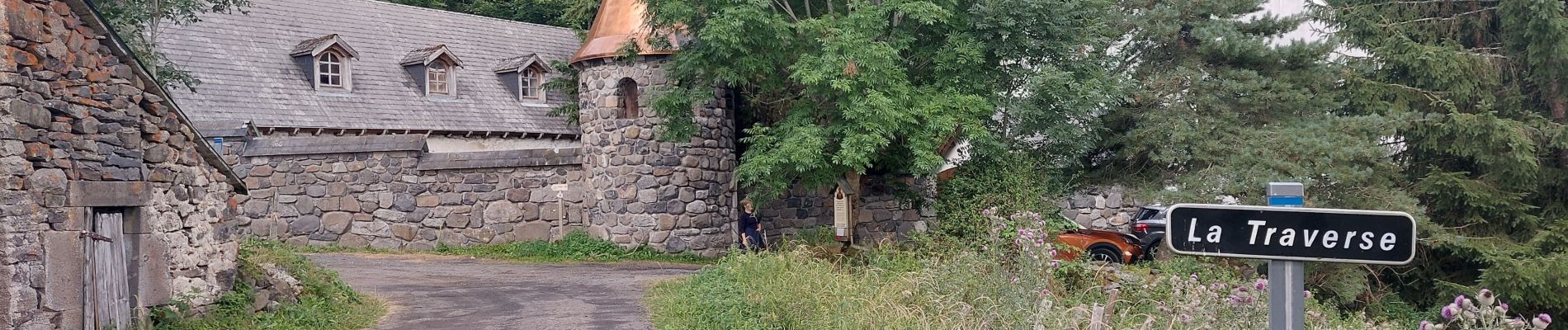
joli petite balade à côté du monastère orthodoxe de Zamenie


Walking
Walking
Walking
Walking
4x4

Walking

Walking

On foot

Touring skiing