


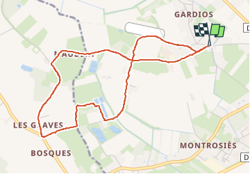

11.6 km | 12.5 km-effort

User


FREE GPS app for hiking
 SityTrail
IGN / Geographical institutes
SityTrail World
The world is yours!
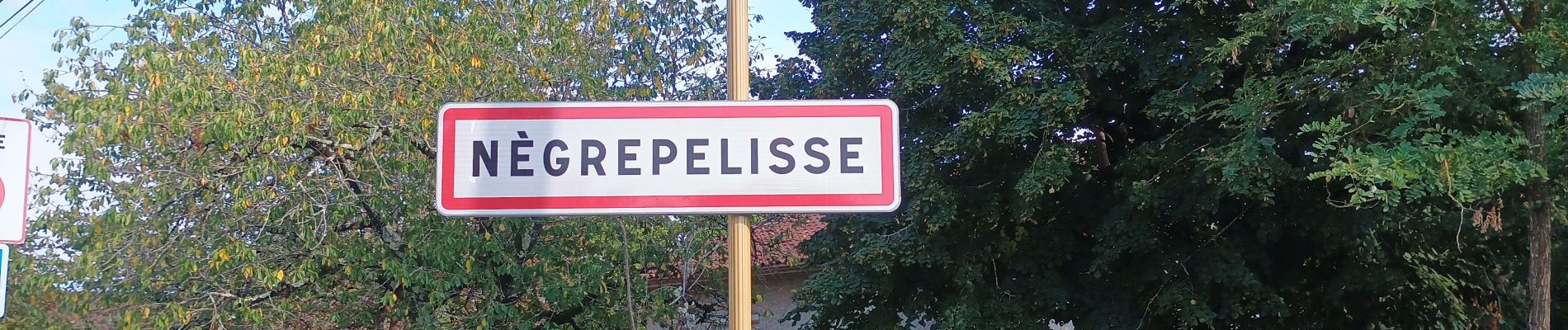
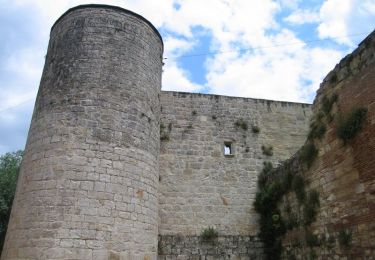
Trail Walking of 5.5 km to be discovered at Occitania, Tarn-et-Garonne, Nègrepelisse. This trail is proposed by helmut68.
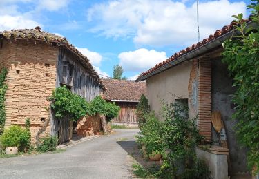
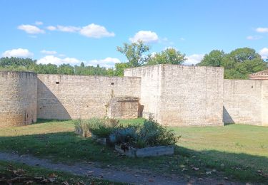
Boucle agréable à Negrepelisse...Suivre le balisage " rectangle jaune " et les panneaux d'affichage en bois.


Walking
Walking

Mountain bike
Walking

Bicycle tourism

Walking
Walking
Walking