


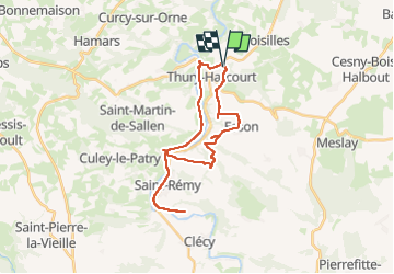

17.1 km | 23 km-effort


User


FREE GPS app for hiking
 SityTrail
IGN / Geographical institutes
SityTrail World
The world is yours!
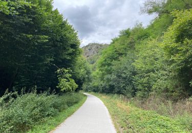
Trail Electric bike of 27 km to be discovered at Normandy, Calvados, Croisilles. This trail is proposed by mimi53.
belle balade sur petite route de campagne et rejoins la voie verte
On foot
On foot

On foot

On foot

Mountain bike

Walking

Walking
Road bike