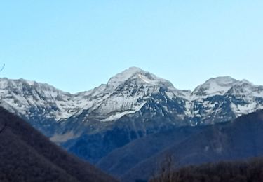
24 km | 44 km-effort
Estintz fos
georghinio
User
Length
26 km
Max alt
2238 m
Uphill gradient
1675 m
Km-Effort
49 km
Min alt
552 m
Downhill gradient
2108 m
Boucle
No
Creation date :
2024-08-14 06:47:52.0
Updated on :
2024-08-14 19:18:29.067
FREE GPS app for hiking
About
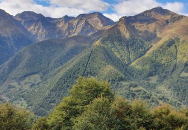
Trail of 26 km to be discovered at Occitania, Ariège, Sentein. This trail is proposed by georghinio.
Positioning
Country:
France
Region :
Occitania
Department/Province :
Ariège
Municipality :
Sentein
Location:
Unknown
Start:(Dec)
Start:(UTM)
331205 ; 4744489 (31T) N.
Comments
Trails nearby
M008-Frechendech à Etang ARAING
Walking
Difficult
(1)
Sentein,
Occitania,
Ariège,
France
10h 0min
Yes
Araing Crabère
Walking
Difficult
(2)
Sentein,
Occitania,
Ariège,
France
32 km | 63 km-effort
9h 49min
No
Pic de Courbayran et cabane de Roques
Walking
Very difficult
Bonac-Irazein,
Occitania,
Ariège,
France
15.9 km | 29 km-effort
6h 37min
Yes
tunnels du Biros ou sentier Decauville
Walking
Very difficult
Bonac-Irazein,
Occitania,
Ariège,
France
17.8 km | 29 km-effort
6h 35min
Yes
Sentier du port d’Orle - col du Tuc
Walking
Easy
Bonac-Irazein,
Occitania,
Ariège,
France
13.7 km | 27 km-effort
6h 20min
Yes
Cabane d'Illau et chapelle de l'izard
Walking
Medium
(1)
Sentein,
Occitania,
Ariège,
France
15.2 km | 26 km-effort
6h 46min
Yes
Mail de bulard de Grauillès
Walking
Very easy
(1)
Bonac-Irazein,
Occitania,
Ariège,
France
7.7 km | 24 km-effort
5h 37min
No
Le tour du cirque de la plagne
Walking
Medium
(2)
Sentein,
Occitania,
Ariège,
France
10.3 km | 24 km-effort
4h 7min
Yes
Sentein Irazein Antras
Walking
Easy
Sentein,
Occitania,
Ariège,
France
8.7 km | 12.5 km-effort
2h 3min
Yes