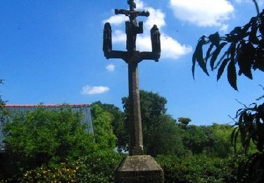
14.7 km | 17.7 km-effort
CLÉDEN-POHER
RonanDAGORN
User
Length
21 km
Max alt
151 m
Uphill gradient
335 m
Km-Effort
26 km
Min alt
60 m
Downhill gradient
334 m
Boucle
Yes
Creation date :
2024-08-14 08:05:29.681
Updated on :
2024-08-14 16:43:21.362
4h41
Difficulty : Medium
FREE GPS app for hiking
About
Trail Walking of 21 km to be discovered at Brittany, Finistère, Cléden-Poher. This trail is proposed by RonanDAGORN.
Description
4h41 de marche effective
Positioning
Country:
France
Region :
Brittany
Department/Province :
Finistère
Municipality :
Cléden-Poher
Location:
Unknown
Start:(Dec)
Start:(UTM)
450246 ; 5342747 (30U) N.
Comments
Trails nearby
GR_37_EC_09_Landeleau_Poullaouen_20200808
Walking
Medium
Landeleau,
Brittany,
Finistère,
France
19.5 km | 25 km-effort
4h 57min
No
Tro Speied - Spézet
Walking
Medium
Spézet,
Brittany,
Finistère,
France
21 km | 25 km-effort
6h 0min
Yes
Tro Speied : le canal
On foot
Easy
Spézet,
Brittany,
Finistère,
France
10.1 km | 12.1 km-effort
2h 45min
Yes
Cléden Poher et le canal de Nantes à Brest
Walking
Difficult
Cléden-Poher,
Brittany,
Finistère,
France
21 km | 24 km-effort
4h 30min
Yes
SAINT HERNIN
Walking
Medium
Saint-Hernin,
Brittany,
Finistère,
France
23 km | 29 km-effort
5h 57min
Yes