Trail Walking Chissay-en-Touraine - Chissay-en-Touraine - Zig zag Beaune les Durdents - 18.2km 330m 3h50 - 2024 08 14 - Photo

Chissay-en-Touraine - Zig zag Beaune les Durdents - 18.2km 330m 3h50 - 2024 08 14

 Orcal37
Orcal37

User GUIDE

© OpenStreetMap contributors
Length
Length
17.8 km
Max alt
Max alt
132 m
Uphill gradient
Uphill gradient
327 m
Km-Effort
Km-Effort  
22 km
Min alt
Min alt
67 m
Downhill gradient
Downhill gradient
326 m
Boucle
Boucle
Yes
Creation date :
2024-08-14 07:13:55.59
Updated on :
2024-08-17 13:40:57.418

(0 Reviews)

Walking
Walking
3h50
Difficulty : Medium

Scan this QR Code to open this trail in the SityTrail application

FREE GPS app for hiking

Logo SityTrail SityTrail

IGN / Geographical institutes

Download SityTrail from the App Store Download SityTrail from Google Play

Logo SityTrail SityTrail World

The world is yours!

Download SityTrail from the App Store Download SityTrail from Google Play Download SityTrail on Huawei AppGallery

About

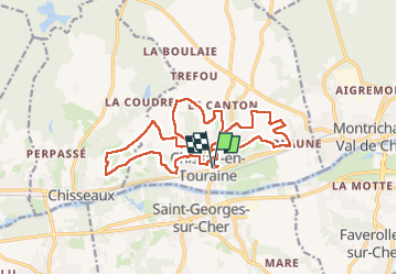
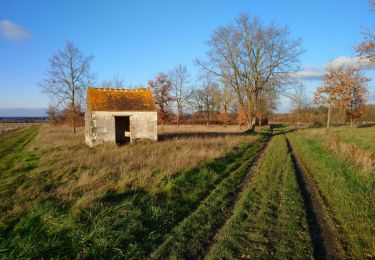
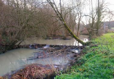
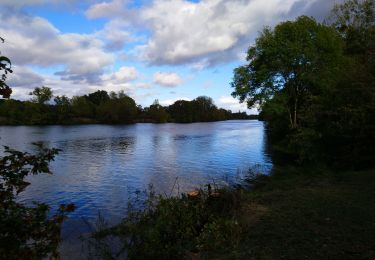
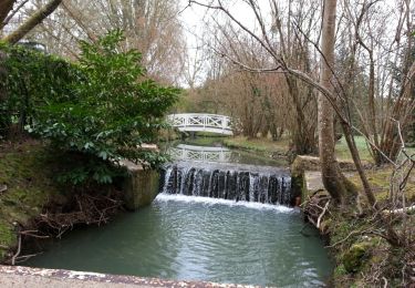
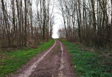
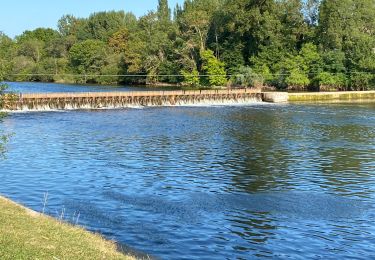
Trail Walking of 17.8 km to be discovered at Centre-Loire Valley, Loir-et-Cher, Chissay-en-Touraine. This trail is proposed by Orcal37.

Description

Chissay-en-Touraine - Zig zag - Château - Beaune - Site archéologique - les Durdents - 17.85km (après suppression d'un aller-retour de 350m) 330m 3h50 - 2024 08 14

Elevation profile

Photos

Positioning

Country:
France
Region :
Centre-Loire Valley
Department/Province :
Loir-et-Cher
Municipality :
Chissay-en-Touraine
Location:
Unknown
Start:(UTM)
359055 ; 5244242 (31T) N.

Trails nearby

Trail Walking Saint-Georges-sur-Cher - Saint-Georges-sur-Cher - GRP Forêt Montrichard - 17.6km 165m 3h40 - 2023 12 27 - Photo
Walking
GUIDE
Orcal37

Walking

Easy
Saint-Georges-sur-Cher, Centre-Loire Valley, Loir-et-Cher, France
17.7 km | 19.8 km-effort
3h 40min
Yes
Trail Walking Faverolles-sur-Cher - Montrichard - GR41 Forêt GRP - 13.9km 220m 3h30 - 2022 03 03 - Photo
Walking
GUIDE
Orcal37

Walking

Easy
Faverolles-sur-Cher, Centre-Loire Valley, Loir-et-Cher, France
13.9 km | 16.9 km-effort
3h 30min
Yes
Trail Walking Saint-Georges-sur-Cher - Saint-Georges-sur-Cher - Vrigny la Rabotière - 5.8km 50m 1h25 - 2021 12 26 - Photo
Walking
GUIDE
Orcal37

Walking

Easy
Saint-Georges-sur-Cher, Centre-Loire Valley, Loir-et-Cher, France
5.8 km | 6.5 km-effort
1h 25min
Yes
Trail Walking Saint-Georges-sur-Cher - Saint-Georges-sur-Cher - les Magasins Montfourgon le Moulin du Porteau - 10km 110m 2h25 - 2021 01 02 - Photo
Walking
GUIDE
Orcal37

Walking

Easy
Saint-Georges-sur-Cher, Centre-Loire Valley, Loir-et-Cher, France
10.1 km | 11.6 km-effort
2h 25min
Yes
Trail Walking Saint-Georges-sur-Cher - Saint-Georges-sur-Cher - barrage de castors de Chézelles - 9.9km 130m 2h10 - 2020 12 26 - Photo
Walking
GUIDE
Orcal37

Walking

Very easy
Saint-Georges-sur-Cher, Centre-Loire Valley, Loir-et-Cher, France
9.9 km | 11.7 km-effort
2h 10min
Yes
Trail Walking Faverolles-sur-Cher - Faverolles-sur-Cher l'Audronnière - les Raimbaudières le Port le Cher - 6.4km 50m 1h35 - 2020 10 04 - Photo
Walking
GUIDE
Orcal37

Walking

Easy
Faverolles-sur-Cher, Centre-Loire Valley, Loir-et-Cher, France
6.4 km | 7.1 km-effort
1h 35min
Yes
Trail Walking Saint-Georges-sur-Cher - Saint-Georges-sur-Cher - Photo
Walking
GUIDE
Orcal37

Walking

Easy
Saint-Georges-sur-Cher, Centre-Loire Valley, Loir-et-Cher, France
12.4 km | 14.1 km-effort
2h 30min
Yes
Trail Walking Saint-Georges-sur-Cher - Saint-Georges-sur-Cher - Vallée Pitrou et Moulins - 6.9km 65m 1h35 - 2023 12 27 - Photo
Walking
GUIDE
Orcal37

Walking

Easy
Saint-Georges-sur-Cher, Centre-Loire Valley, Loir-et-Cher, France
6.9 km | 7.8 km-effort
1h 35min
Yes
Trail Road bike Faverolles-sur-Cher - Balade autour de Montrichard - Photo
Road bike
pauldurand

Road bike

Medium
Faverolles-sur-Cher, Centre-Loire Valley, Loir-et-Cher, France
48 km | 54 km-effort
3h 38min
No


Close
My subscriptions