


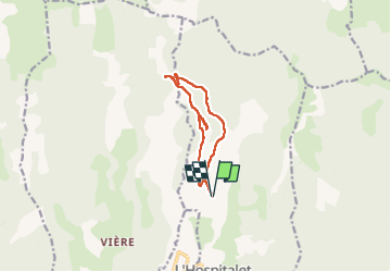

17 km | 26 km-effort

User


FREE GPS app for hiking
 SityTrail
IGN / Geographical institutes
SityTrail World
The world is yours!
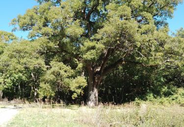
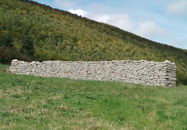
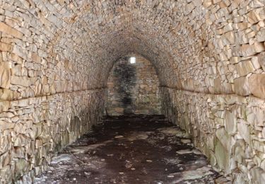
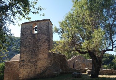
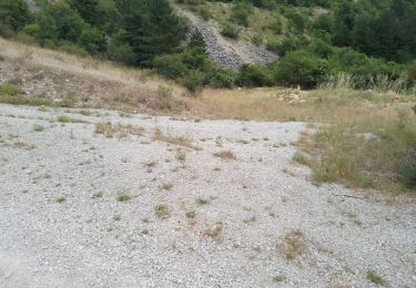
Trail Walking of 10.4 km to be discovered at Provence-Alpes-Côte d'Azur, Alpes-de-Haute-Provence, L'Hospitalet. This trail is proposed by Roger .
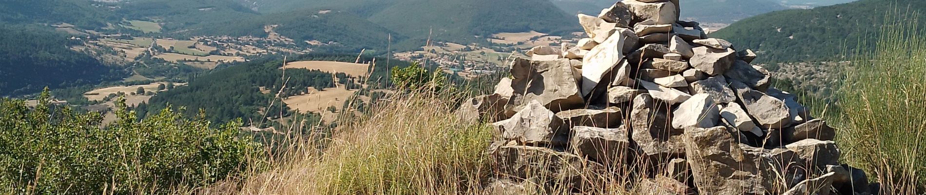
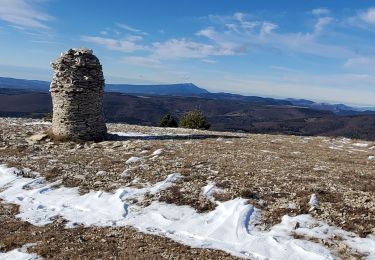
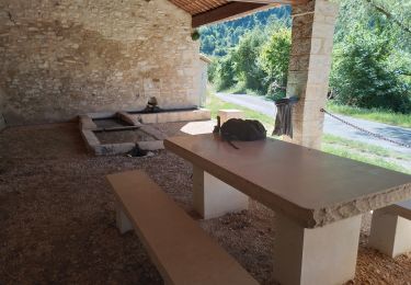
belle randonnée. très jolie bergerie à foureynard , point de vue à la tour, qui n existe pas


Walking
Walking

Walking
Walking
Walking
Walking
Walking
Walking
Walking