


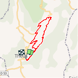

6.7 km | 13.4 km-effort

User


FREE GPS app for hiking
 SityTrail
IGN / Geographical institutes
SityTrail World
The world is yours!
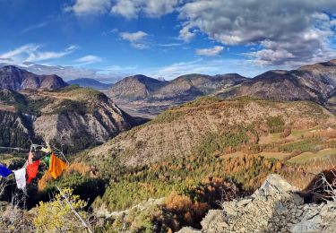
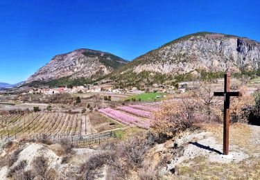
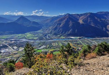
Trail Walking of 9.4 km to be discovered at Provence-Alpes-Côte d'Azur, Hautes-Alpes, Théus. This trail is proposed by Dervalmarc.
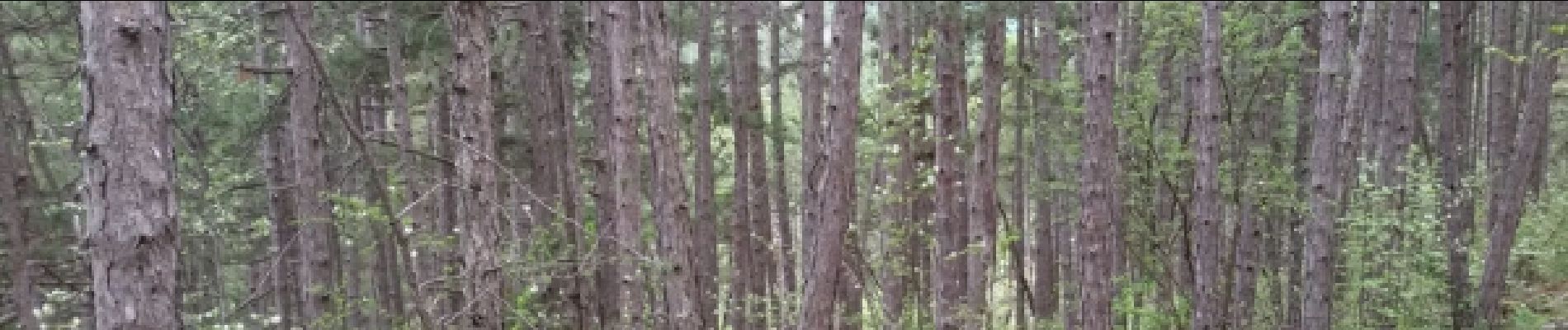
Randonnée agréable
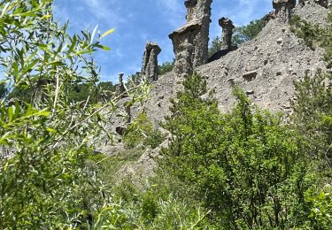
dans une forêt de pins noir d'Autriche et de pins sylvestre. Formation minérale atypique des Alpes du sud.A éviter par mauvais temps .
 - Photo 1")
 - Photo 2")
 - Photo 3")
 - Photo 4")
 - Photo 5")
 - Photo 6")
 - Photo 7")
 - Photo 8")
 - Photo 9")
 - Photo 10")
 - Photo 11")
 - Photo 12")
 - Photo 13")
 - Photo 14")
 - Photo 15")
 - Photo 16")
Walking
Walking
Walking
Walking
Walking
Walking
Walking

sport
Walking
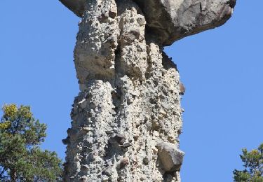
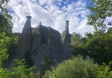
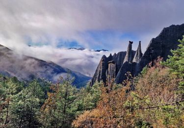
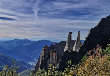
Ballade très agréable, en forêt, à faire par beau temps. En compagnie des demoiselles coiffées. Decoiffantes, époustouflantes, géantes pour certaines. Une belle curiosité!!!!
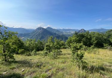
superbe ballade, à voir absolument, facile.