


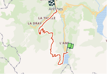

8.2 km | 17.9 km-effort

User


FREE GPS app for hiking
 SityTrail
IGN / Geographical institutes
SityTrail World
The world is yours!
Trail Walking of 13.8 km to be discovered at Auvergne-Rhône-Alpes, Savoy, Beaufort. This trail is proposed by lolitrail.
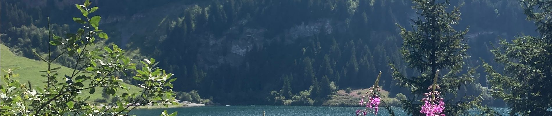
Très jolie randonnée permettant de relier le lac de st guerin à Arêches . Transport en navette gratuite jusqu à st guerin et halte café à l alpage ☺️☺️


Walking

Walking

Walking

Touring skiing

Touring skiing

Walking

Walking

Walking

Walking