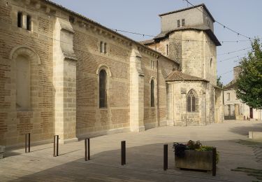
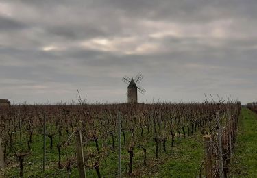
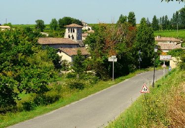
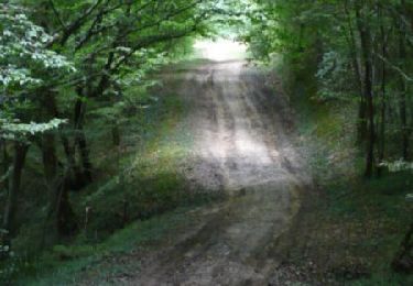
Trail Walking Rauzan - rauzan août 2024 - Photo

rauzan août 2024

© OpenStreetMap contributors
Length
Length
8.6 km
Max alt
Max alt
87 m
Uphill gradient
Uphill gradient
90 m
Km-Effort
Km-Effort  
9.8 km
Min alt
Min alt
40 m
Downhill gradient
Downhill gradient
99 m
Boucle
Boucle
No
Creation date :
2024-08-12 11:11:02.164
Updated on :
2024-08-12 13:31:09.23

(1 Reviews)

Walking
Walking
1h57
Difficulty : Medium

Scan this QR Code to open this trail in the SityTrail application

FREE GPS app for hiking

Logo SityTrail SityTrail

IGN / Geographical institutes

Download SityTrail from the App Store Download SityTrail from Google Play

Logo SityTrail SityTrail World

The world is yours!

Download SityTrail from the App Store Download SityTrail from Google Play Download SityTrail on Huawei AppGallery

About

Trail Walking of 8.6 km to be discovered at New Aquitaine, Gironde, Rauzan. This trail is proposed by danielletara.

Elevation profile

Positioning

Country:
France
Region :
New Aquitaine
Department/Province :
Gironde
Municipality :
Rauzan
Location:
Unknown
Start:(UTM)
726610 ; 4963241 (30T) N.

Comments

Please log in to post a review or rate the element


Trails nearby

Trail Bicycle tourism Courpiac - Courpiac -Mas d'Agenais - Photo
Bicycle tourism
ilur56

Bicycle tourism

Very difficult
Courpiac, New Aquitaine, Gironde, France
64 km | 74 km-effort
Unknown
No
Trail Walking Cabara - Cabara - Photo
Walking
bedous

Walking

Difficult
Cabara, New Aquitaine, Gironde, France
14.6 km | 17.3 km-effort
4h 4min
Yes
Trail Walking Saint-Aubin-de-Branne - Circuit du tour de Saint Aubin de Branne - Photo
Walking
tracegps

Walking

Medium
(2)
Saint-Aubin-de-Branne, New Aquitaine, Gironde, France
11.8 km | 14.2 km-effort
3h 0min
Yes
Trail Walking Saint-Aubin-de-Branne - Circuit du port - Saint Aubin de Branne - Photo
Walking
tracegps

Walking

Easy
(5)
Saint-Aubin-de-Branne, New Aquitaine, Gironde, France
6.7 km | 8.3 km-effort
1h 40min
Yes
Trail Walking Sainte-Terre - Sainte Terre - Photo
Walking
jgu5108

Walking

Easy
Sainte-Terre, New Aquitaine, Gironde, France
23 km | 25 km-effort
5h 56min
Yes
Trail Mountain bike Blasimon - De Blasimon à Sauveterre de Guyenne - Photo
Mountain bike
tracegps

Mountain bike

Difficult
Blasimon, New Aquitaine, Gironde, France
31 km | 37 km-effort
3h 0min
Yes
Trail Walking Naujan-et-Postiac - G27_Naujan_et_Postiac - Photo
Walking
bedous

Walking

Difficult
(1)
Naujan-et-Postiac, New Aquitaine, Gironde, France
12.2 km | 14 km-effort
3h 11min
Yes
Trail Running Rauzan - toto nono - Photo
Running
thomgrimaud

Running

Very easy
Rauzan, New Aquitaine, Gironde, France
10.6 km | 12.7 km-effort
52min
Yes
Trail Walking Blasimon - 2024-06-BBR-BLASIMON Tour du Lac - Photo
Walking
BBR33

Walking

Easy
Blasimon, New Aquitaine, Gironde, France
3.6 km | 4.1 km-effort
55min
Yes


Close
My subscriptions