


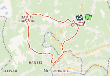


13.4 km | 17.5 km-effort

« L’heure de la fin des découvertes ne sonne jamais. » Colette GUIDE+


FREE GPS app for hiking
 SityTrail
IGN / Geographical institutes
SityTrail World
The world is yours!
Trail Walking of 8 km to be discovered at Wallonia, Liège, Olne. This trail is proposed by Au fil de nos découvertes.
🅿️ Départ et Parking:
Centre de Sports et de Loisirs d'Olne
Chemin des Ecoliers 5,
4877 Olne
▶️ Suivre la balise "croix verte n°10"
Prévoir de bonnes chaussures de marche.
Certains passages sont plus difficiles (cailloux, branches, etc)
🌲🌳
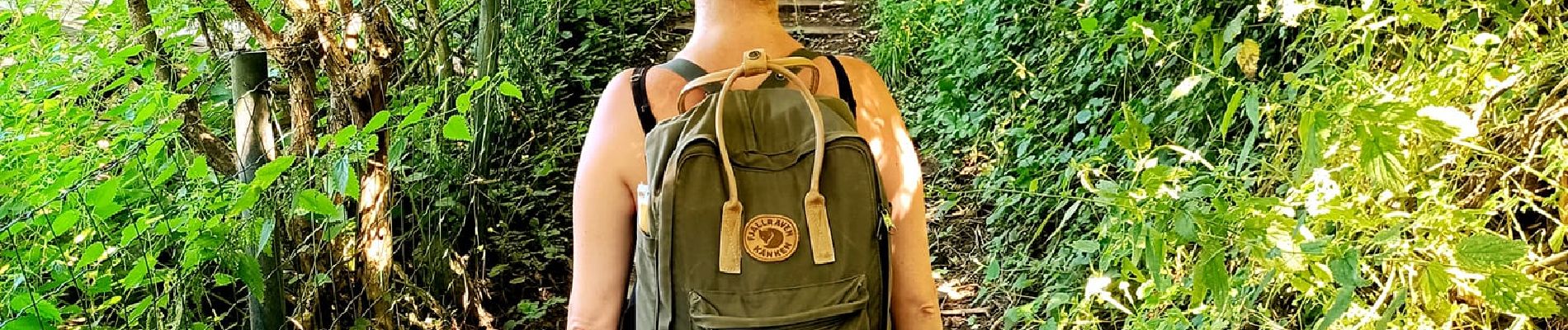
Au départ d'Olne, un des plus beaux villages de Wallonie, cette promenade vous emmène dans les campagnes, de petits bosquets et de charmants villages.
Possibilités de pique-niquer. 🥪🍴
Chiens autorisés en laisse. 🐩🐶🐕
Convient pour les enfants. (Plaine de jeux au départ) 👱👱♂️
Ne convient pas pour les poussettes et personnes à mobilité réduite. 👨🦽👩🦽👶
N'hésitez pas à aller faire un tour sur notre site internet : www.aufildenosdecouvertes.com
Instagram :
https://instagram.com/au_fil_de_nos_decouvertes?igshid=3v7ume5rkt12


36 photos in total. Please click on a photo to see them all in the gallery.

Walking


Walking

Walking

Walking

Walking

Walking

Walking

Walking
merci !