


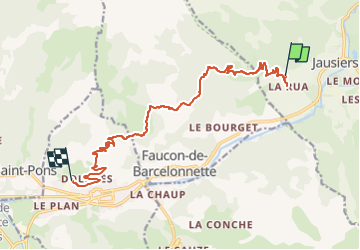

7.8 km | 13.4 km-effort

User


FREE GPS app for hiking
 SityTrail
IGN / Geographical institutes
SityTrail World
The world is yours!
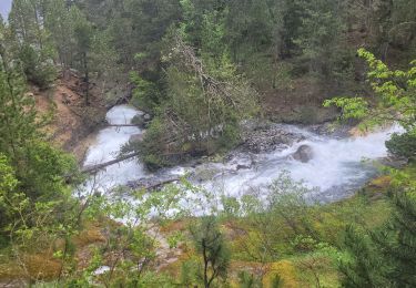
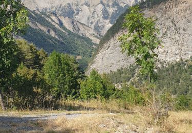
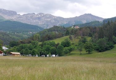
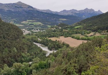
Trail Electric bike of 14.1 km to be discovered at Provence-Alpes-Côte d'Azur, Alpes-de-Haute-Provence, Jausiers. This trail is proposed by Yves Locati.
magnifique parcours,distance réelle
24km. pistes carrossables . efforts moyens.traverseés de petits hameaux magnifiques.


Walking
Mountain bike

Walking
Walking
Walking
Walking
Walking
Walking
Walking