7.4 km | 9.6 km-effort
guizengard
thierry16
User
Length
4.8 km
Max alt
111 m
Uphill gradient
96 m
Km-Effort
6.1 km
Min alt
59 m
Downhill gradient
94 m
Boucle
Yes
Creation date :
2024-08-07 12:38:03.33
Updated on :
2024-08-07 14:01:37.21
1h22
Difficulty : Medium
FREE GPS app for hiking
About
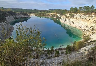
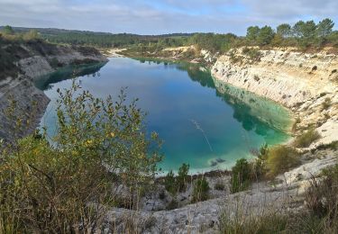
Trail Walking of 4.8 km to be discovered at New Aquitaine, Charente, Guizengeard. This trail is proposed by thierry16.
Positioning
Country:
France
Region :
New Aquitaine
Department/Province :
Charente
Municipality :
Guizengeard
Location:
Unknown
Start:(Dec)
Start:(UTM)
726580 ; 5020432 (30T) N.
Comments
Trails nearby
LACS BLEUS GUIZENGEARD depuis le Parking de la Mairie
Walking
Medium
Guizengeard,
New Aquitaine,
Charente,
France
2h 10min
Yes
LACS BLEUS de GUIZENGEARDE
Walking
Medium
Guizengeard,
New Aquitaine,
Charente,
France
4.8 km | 6.1 km-effort
1h 22min
Yes
guizengeard 03 avril 2018
Walking
Easy
Guizengeard,
New Aquitaine,
Charente,
France
7.5 km | 9.3 km-effort
2h 1min
Yes
Le circuit des cervidés - Boisbreteau
Walking
Easy
(1)
Boisbreteau,
New Aquitaine,
Charente,
France
6.9 km | 8.2 km-effort
1h 45min
Yes
étang vallier brossac
Walking
Easy
Brossac,
New Aquitaine,
Charente,
France
8 km | 9.9 km-effort
2h 4min
Yes
guizengeard
Walking
Easy
Guizengeard,
New Aquitaine,
Charente,
France
6.7 km | 8.1 km-effort
2h 10min
Yes
ballade aux lacs bleus
Walking
Very easy
Guizengeard,
New Aquitaine,
Charente,
France
4.4 km | 5.4 km-effort
2h 19min
Yes
Guizengeard
Walking
Medium
Guizengeard,
New Aquitaine,
Charente,
France
10.5 km | 12.9 km-effort
2h 17min
Yes
Boresse
Walking
Medium
Saint-Vallier,
New Aquitaine,
Charente,
France
14.7 km | 18 km-effort
3h 17min
No