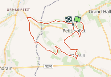

20 km | 23 km-effort

User


FREE GPS app for hiking
 SityTrail
IGN / Geographical institutes
SityTrail World
The world is yours!
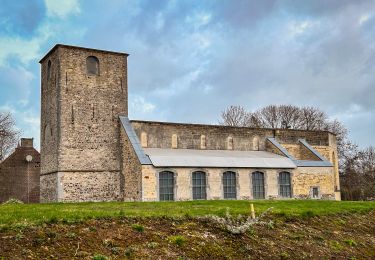
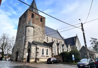
Trail Walking of 9 km to be discovered at Wallonia, Liège, Hannut. This trail is proposed by jipysn.
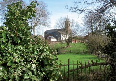
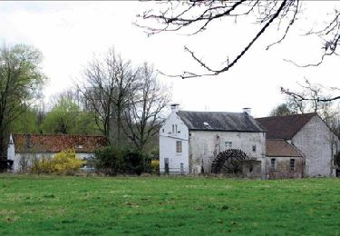
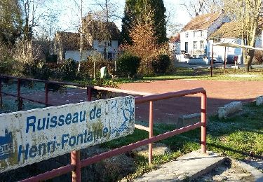
Bienvenue dans la « petite suisse hannutoise » ! Tout au long de la balade, vous allez découvrir les vallées des ruisseaux du Henri-Fontaine et de Wansin – les deux vallées les plus escarpées de l’entité de Hannut – et deux beaux villages bien pentus, magnifiques à la saison des fleurs.


Walking
Walking

Walking
Walking

Walking
Walking