


11.7 km | 19.7 km-effort


User


FREE GPS app for hiking
 SityTrail
IGN / Geographical institutes
SityTrail World
The world is yours!
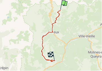
Trail Walking of 20 km to be discovered at Provence-Alpes-Côte d'Azur, Hautes-Alpes, Château-Ville-Vieille. This trail is proposed by loicthev.
Tour du Queyras jour 6
Lac de souliers > Arvieux > Col de Furfande > Les Escoyères
06/08/2024
Alexandre

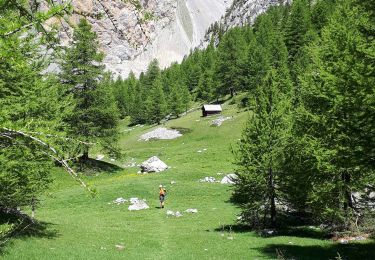
Walking
Via ferrata
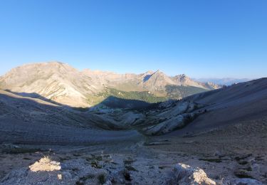
Walking

Walking
Other activity

Other activity
Walking
Walking
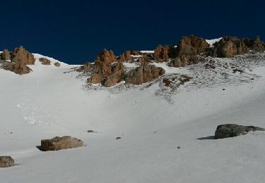
Snowshoes