


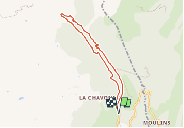


8.6 km | 12 km-effort

User


FREE GPS app for hiking
 SityTrail
IGN / Geographical institutes
SityTrail World
The world is yours!
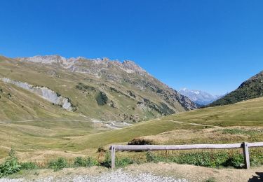
Trail Walking of 7.1 km to be discovered at Auvergne-Rhône-Alpes, Savoy, Aime-la-Plagne. This trail is proposed by Pourriel Box.
Balade tranquille le long du Grand Bief qui est en fait un petit ru en forêt. Dénivelé tout doux tout le long. Très agréable quand il fait chaud.
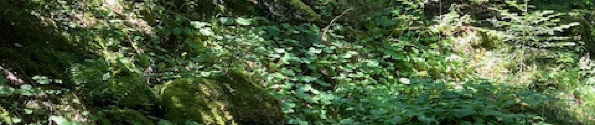
 - Photo 1")
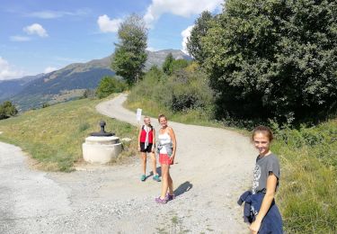
Walking

Walking

Walking

Walking
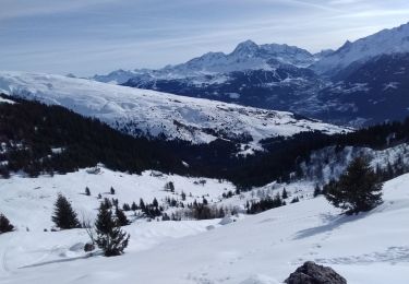
Touring skiing

Touring skiing
Walking

Snowshoes
Walking