


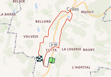

11.7 km | 16.1 km-effort


User


FREE GPS app for hiking
 SityTrail
IGN / Geographical institutes
SityTrail World
The world is yours!
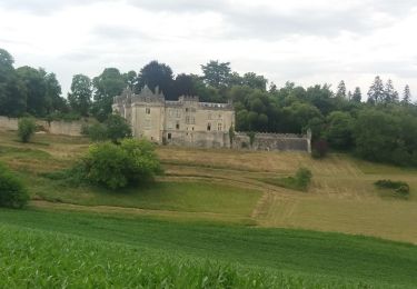
Trail Walking of 7.2 km to be discovered at New Aquitaine, Dordogne, Celles. This trail is proposed by ehalle8544.
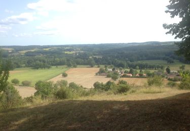
Du hameau monrepos au centre du village de CELLES petite balade que j classe quant même en difficulté moyenne. Mais sympa pour les bons marcheurs au milieu des champs de maïs et de tournesols
Walking

Walking
Walking

Walking

On foot
On foot

Walking
Walking
Walking