


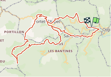

46 km | 67 km-effort


User


FREE GPS app for hiking
 SityTrail
IGN / Geographical institutes
SityTrail World
The world is yours!
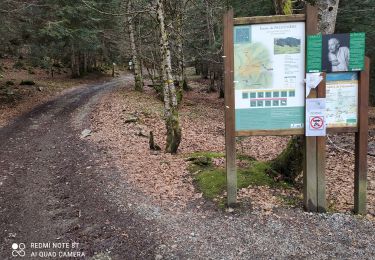
Trail Mountain bike of 32 km to be discovered at Occitania, Ariège, Galey. This trail is proposed by Yonl.
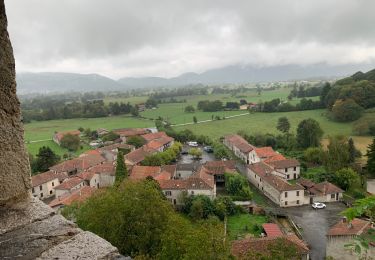
Magnifique rando en VTT électrique.
Attention: il faut du bon matériel et cela monte FORT par endroit et il ne faudra pas hésiter à monter à pied sur certains passages.
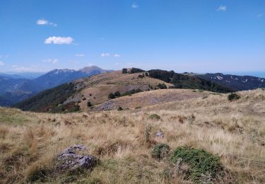
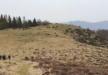
Mais en haut du Puech, c'est juste magique avec une vue à 360°.
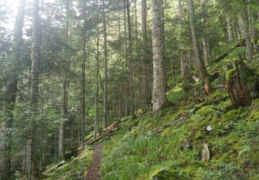
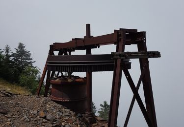
Les plus entrainés devraient être capables de faire en VTT musculaire...mais je leur souhaite bon courage !
Walking
Walking
Walking

Walking
Walking
Walking
Walking

Mountain bike

Mountain bike