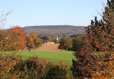
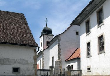
13.1 km | 21 km-effort
glaserberg
philippe2434
User
Length
6.4 km
Max alt
821 m
Uphill gradient
166 m
Km-Effort
8.6 km
Min alt
727 m
Downhill gradient
166 m
Boucle
Yes
Creation date :
2015-05-01 00:00:00.0
Updated on :
2015-05-01 00:00:00.0
1h52
Difficulty : Medium
FREE GPS app for hiking
About
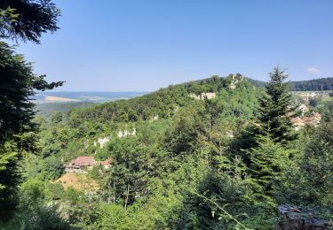
Trail Walking of 6.4 km to be discovered at Grand Est, Haut-Rhin, Winkel. This trail is proposed by philippe2434.
Positioning
Country:
France
Region :
Grand Est
Department/Province :
Haut-Rhin
Municipality :
Winkel
Location:
Unknown
Start:(Dec)
Start:(UTM)
369384 ; 5256631 (32T) N.
Comments
Trails nearby
Ferrette ,château, grotte des nains,rossberg
Walking
Difficult
Ferrette,
Grand Est,
Haut-Rhin,
France
8.6 km | 13.7 km-effort
5h 1min
Yes
Sortie les Copains d'abord.. 24/03/2022
Walking
Medium
Levoncourt,
Grand Est,
Haut-Rhin,
France
24 km | 34 km-effort
4h 57min
Yes
Lucelle Douane - Pleigne
On foot
Easy
Pleigne,
Jura,
District de Delémont,
Switzerland
5.3 km | 8 km-effort
1h 48min
No
Oberlarg - sa grotte - la ferme des Ebourbettes - le château de Morimont
Walking
Medium
Oberlarg,
Grand Est,
Haut-Rhin,
France
9.5 km | 13.3 km-effort
3h 22min
Yes
La balade des étangs - Ferrette
Cycle
Difficult
Ferrette,
Grand Est,
Haut-Rhin,
France
59 km | 68 km-effort
3h 0min
Yes
Sentier panoramique
On foot
Easy
Pleigne,
Jura,
District de Delémont,
Switzerland
5.7 km | 6.8 km-effort
1h 33min
Yes
Pleujuse - fixme
On foot
Easy
La Baroche,
Jura,
District de Porrentruy,
Switzerland
3.1 km | 5.6 km-effort
1h 16min
No
Pleigne - Bourrignon
On foot
Easy
Pleigne,
Jura,
District de Delémont,
Switzerland
4.9 km | 6.9 km-effort
1h 34min
No