


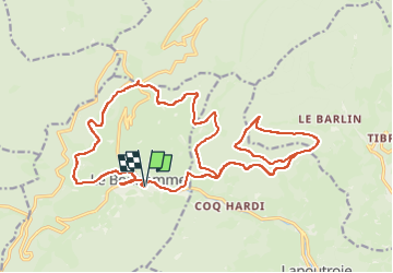

11.9 km | 16.6 km-effort


User


FREE GPS app for hiking
 SityTrail
IGN / Geographical institutes
SityTrail World
The world is yours!
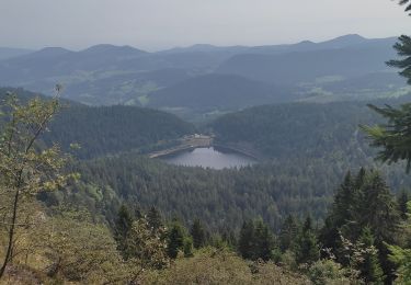
Trail Mountain bike of 25 km to be discovered at Grand Est, Haut-Rhin, Le Bonhomme. This trail is proposed by berruyer.
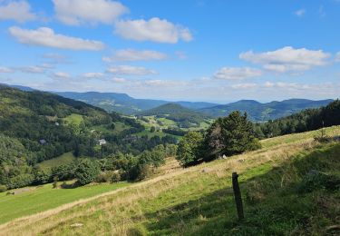
Joli tour avec de très belles vues, sans difficultés 764m dénivelé positive

Walking

Walking

Mountain bike
Walking
Walking
Walking
Walking
Mountain bike
Walking