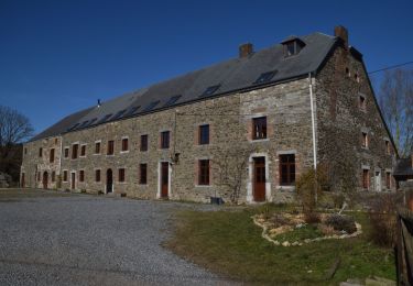
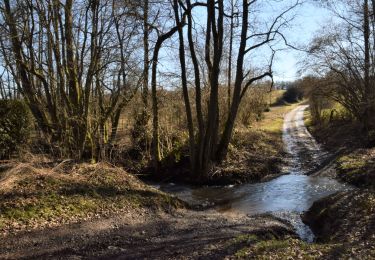
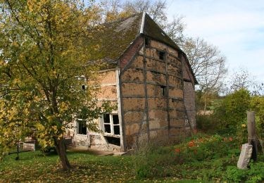
Trail Cycle Beauraing - Haut-Butée (F) - Photo

Haut-Butée (F)

© OpenStreetMap contributors
Length
Length
93 km
Max alt
Max alt
496 m
Uphill gradient
Uphill gradient
1732 m
Km-Effort
Km-Effort  
116 km
Min alt
Min alt
115 m
Downhill gradient
Downhill gradient
1731 m
Boucle
Boucle
Yes
Creation date :
2015-05-01 00:00:00.0
Updated on :
2019-06-01 10:45:08.461

(0 Reviews)

Cycle
Cycle
6h14
Difficulty : Medium
Motorbike
Motorbike
--
Difficulty : Medium

Scan this QR Code to open this trail in the SityTrail application

FREE GPS app for hiking

Logo SityTrail SityTrail

IGN / Geographical institutes

Download SityTrail from the App Store Download SityTrail from Google Play

Logo SityTrail SityTrail World

The world is yours!

Download SityTrail from the App Store Download SityTrail from Google Play Download SityTrail on Huawei AppGallery

About

Trail Cycle of 93 km to be discovered at Wallonia, Namur, Beauraing. This trail is proposed by yourassiette.

Description

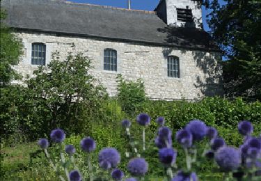
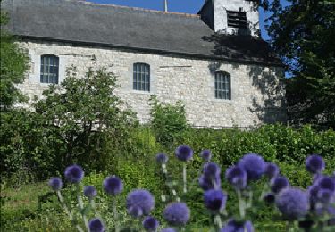
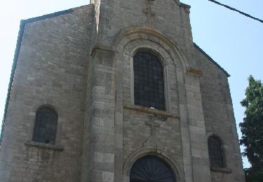
Eglise de Saint-Antoine (1877) , altitude de 500m, magnifique vue sur le massif des Ardennes belge et française.
L'église abrite :
Une Relique du saint Antoine de Padoue.
Une châsse de Saint Florent martyr.
Une cloche de 1487 à l'origine située dans la chapelle des Vieux Moulins.
Plus de 2300 plaques ex-voto.. (de 1890 à 1900)

Elevation profile

Photos

Points of interest

Point of interest Gedinne - Tour du millénaire - Photo
yourassiette

Positioning

Country:
Belgium
Region :
Wallonia
Department/Province :
Namur
Municipality :
Beauraing
Location:
Vonêche
Start:(UTM)
641478 ; 5547361 (31U) N.

Trails nearby

Trail Walking Beauraing - RB-Na-29_Un terroir d’une biodiversité remarquable - Photo
Walking
PRO

Walking

Very difficult
(9)
Beauraing, Wallonia, Namur, Belgium
22 km | 28 km-effort
6h 28min
Yes
Trail Walking Beauraing - Nature and landscapes around Pondrôme & Revogne - Photo
Walking
PRO

Walking

Easy
(8)
Beauraing, Wallonia, Namur, Belgium
8.9 km | 10.7 km-effort
2h 18min
Yes
Trail Walking Beauraing - Nature - Vonêche, the village of the crystal works - Photo
Walking
PRO

Walking

Easy
(6)
Beauraing, Wallonia, Namur, Belgium
5.8 km | 7.3 km-effort
1h 34min
Yes
Trail Walking Beauraing - Nature walk between Pondrôme and Revogne - Photo
Walking
PRO

Walking

Medium
(5)
Beauraing, Wallonia, Namur, Belgium
8.6 km | 10.3 km-effort
2h 0min
Yes
Trail Walking Beauraing - RB-Na-29-racc-2_Un terroir d’une biodiversité remarquable - Photo
Walking
PRO

Walking

Very difficult
(2)
Beauraing, Wallonia, Namur, Belgium
19 km | 24 km-effort
5h 20min
Yes
Trail Walking Beauraing - RB-Na-28-En Famenne occidentale - Photo
Walking
PRO

Walking

Very difficult
(5)
Beauraing, Wallonia, Namur, Belgium
19.4 km | 24 km-effort
5h 33min
Yes
Trail Cycle Beauraing - Cycle tour : Revogne, Lavaux-Sainte-Anne,  Focant, Revogne - Photo
Cycle
PRO

Cycle

Very easy
(3)
Beauraing, Wallonia, Namur, Belgium
18.1 km | 21 km-effort
1h 3min
Yes
Trail Walking Beauraing - Javingue-Sevry - Roadbook discovering villages & landscapes - Photo
Walking
PRO

Walking

Easy
(6)
Beauraing, Wallonia, Namur, Belgium
7.7 km | 10.2 km-effort
2h 0min
Yes
Trail Walking Beauraing - Vonêche & Froidfontaine - Roadbook discovering villages & landscapes - Photo
Walking
PRO

Walking

Easy
(2)
Beauraing, Wallonia, Namur, Belgium
5.6 km | 6.5 km-effort
1h 33min
Yes


Close
My subscriptions