


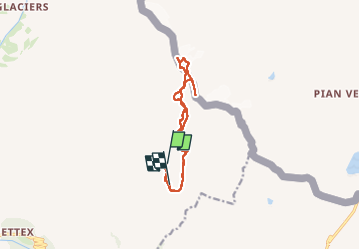

8.9 km | 13.7 km-effort

User GUIDE


FREE GPS app for hiking
 SityTrail
IGN / Geographical institutes
SityTrail World
The world is yours!
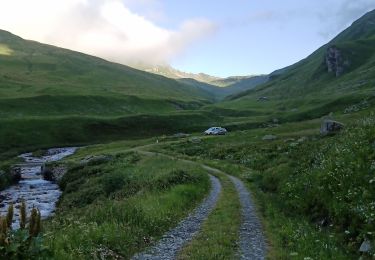
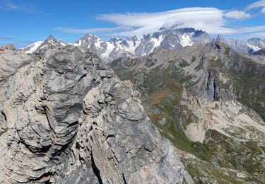
Trail Walking of 12.4 km to be discovered at Auvergne-Rhône-Alpes, Savoy, Bourg-Saint-Maurice. This trail is proposed by nadd73.
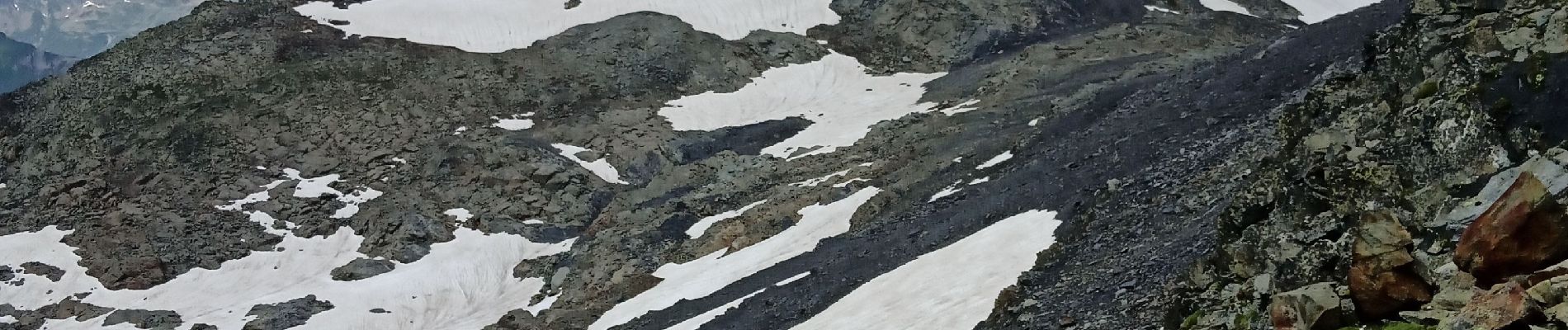
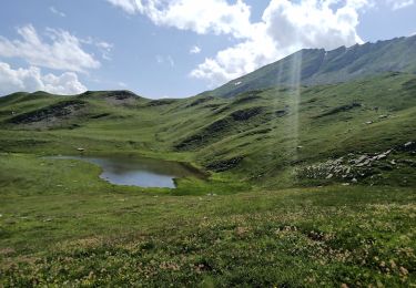
Beaucoup de névés.
Si vous suivez ma trace faites la descente par le montée car je m'amuse à faire des détours.... pour voir ailleurs si je surprends un animal ! ☺️


Walking
Walking
Walking
Walking
Walking

Walking

Touring skiing
Touring skiing
Walking