


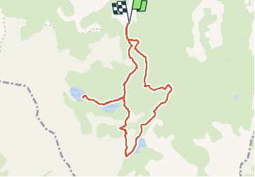

11 km | 19.3 km-effort

User


FREE GPS app for hiking
 SityTrail
IGN / Geographical institutes
SityTrail World
The world is yours!
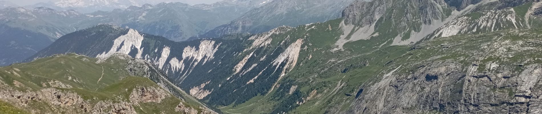
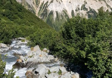
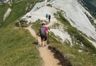
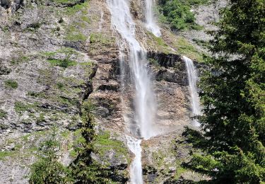
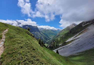
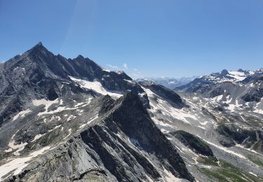
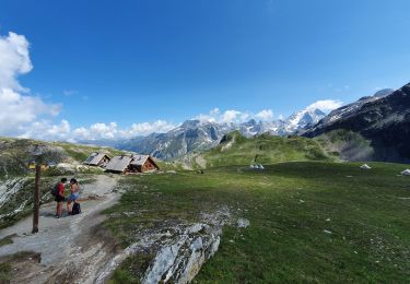
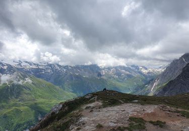
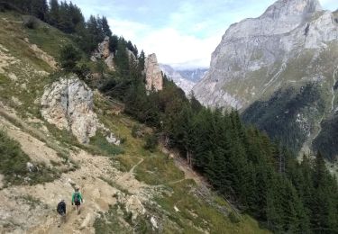
Trail Walking of 9.5 km to be discovered at Auvergne-Rhône-Alpes, Savoy, Courchevel. This trail is proposed by BernardAF.
départ col de la Playa, refuge du grand Plan, lac du pètre, lacs de Merlet.


Walking
Walking

Walking
Walking
Walking
Walking
Walking
Walking
Walking