Trail Walking Uttendorf - Medelzkopf - Photo
© OpenStreetMap contributors
Length
Length
11.1 km
Max alt
Max alt
2733 m
Uphill gradient
Uphill gradient
637 m
Km-Effort
Km-Effort  
22 km
Min alt
Min alt
1481 m
Downhill gradient
Downhill gradient
1462 m
Boucle
Boucle
No
Creation date :
2024-07-26 08:55:17.832
Updated on :
2024-07-30 06:46:18.867

(0 Reviews)

Walking
Walking
5h46
Difficulty : Difficult

Scan this QR Code to open this trail in the SityTrail application

FREE GPS app for hiking

Logo SityTrail SityTrail

IGN / Geographical institutes

Download SityTrail from the App Store Download SityTrail from Google Play

Logo SityTrail SityTrail World

The world is yours!

Download SityTrail from the App Store Download SityTrail from Google Play Download SityTrail on Huawei AppGallery

About

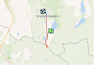
Trail Walking of 11.1 km to be discovered at Salzburg, Bezirk Zell am See, Uttendorf. This trail is proposed by FamilleTeste.

Elevation profile

Positioning

Country:
Austria
Region :
Salzburg
Department/Province :
Bezirk Zell am See
Municipality :
Uttendorf
Location:
Unknown
Start:(UTM)
319977 ; 5222821 (33T) N.

Trails nearby

Trail On foot Uttendorf - AT-http://wiki.openstreetmap.org/wiki/WikiProject_Austria/Wanderwege - Photo
On foot
GUIDE+

On foot

Easy
Uttendorf, Salzburg, Bezirk Zell am See, Austria
3.5 km | 5.9 km-effort
1h 20min
No


Close
My subscriptions