


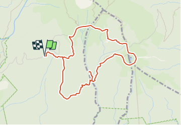

17.3 km | 37 km-effort

User GUIDE


FREE GPS app for hiking
 SityTrail
IGN / Geographical institutes
SityTrail World
The world is yours!
Trail Walking of 6.5 km to be discovered at Guadeloupe, Unknown, Saint-Claude. This trail is proposed by toutankhcarton.
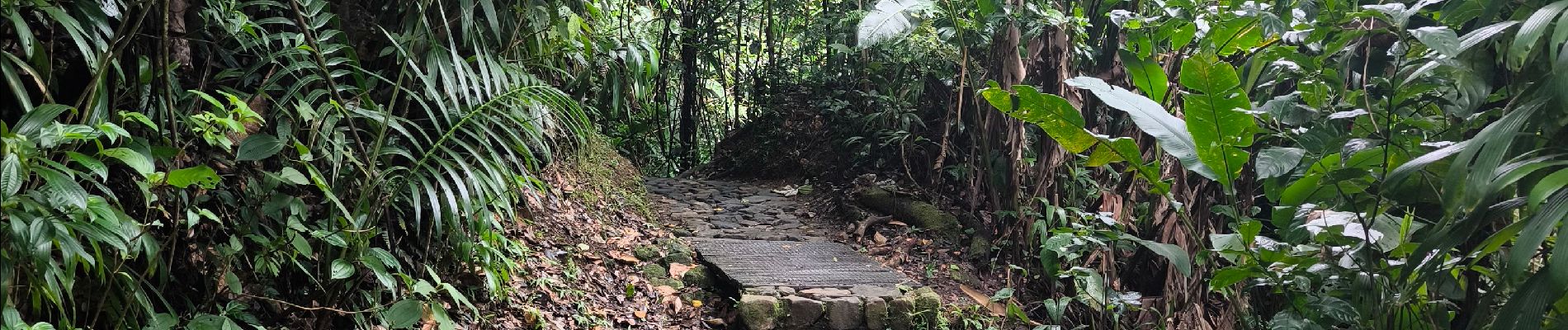
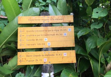
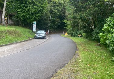
Départ depuis les Bains jaunes
Piste bien tracée jusqu'à la chute du Gallion. Pour accéder au pied de la chute, traverser le lit de la rivière puis prendre le sentier vers Citerne. Tourner immédiatement à gauche puis quelques passages de cordes.
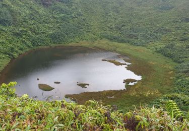
Itinéraire non balisé jusqu'à la Citerne. Ca grimpe dur dans une ravine.


Other activity
Walking
Walking

Walking
Trail

Trail

Trail

Walking
Trail