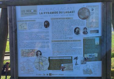
103 km | 135 km-effort
01-La Pyramide du Lagast
tercla
User
Length
7.1 km
Max alt
941 m
Uphill gradient
214 m
Km-Effort
9.9 km
Min alt
792 m
Downhill gradient
212 m
Boucle
Yes
Creation date :
2024-07-29 12:06:13.68
Updated on :
2024-07-29 12:18:39.991
2h14
Difficulty : Medium
FREE GPS app for hiking
About
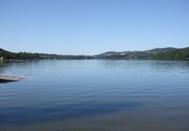
Trail Walking of 7.1 km to be discovered at Occitania, Aveyron, Auriac-Lagast. This trail is proposed by tercla.
Positioning
Country:
France
Region :
Occitania
Department/Province :
Aveyron
Municipality :
Auriac-Lagast
Location:
Unknown
Start:(Dec)
Start:(UTM)
471248 ; 4887459 (31T) N.
Comments
Trails nearby
Ronde des lacs du Levezou
On foot
Very difficult
Auriac-Lagast,
Occitania,
Aveyron,
France
30h 36min
Yes
Circumlacustre Villefranche-de-Panat
On foot
Easy
Alrance,
Occitania,
Aveyron,
France
10.2 km | 11.7 km-effort
2h 39min
Yes
Durenque 03/11/2024
Walking
Very difficult
Durenque,
Occitania,
Aveyron,
France
14.8 km | 19.6 km-effort
3h 41min
Yes
lagast mai 2019
Walking
Very easy
Alrance,
Occitania,
Aveyron,
France
15.5 km | 21 km-effort
4h 19min
Yes
Durenque longue via pyramide du Lagast
Walking
Very difficult
Durenque,
Occitania,
Aveyron,
France
18 km | 24 km-effort
5h 31min
Yes
villefranche de panat VTT
Mountain bike
Easy
Alrance,
Occitania,
Aveyron,
France
53 km | 68 km-effort
4h 22min
Yes