


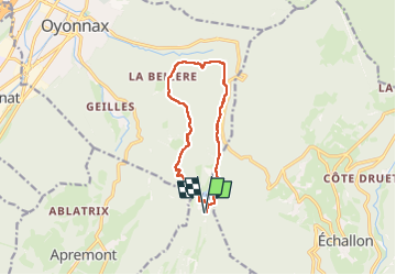


10.9 km | 14.5 km-effort

User GUIDE


FREE GPS app for hiking
 SityTrail
IGN / Geographical institutes
SityTrail World
The world is yours!
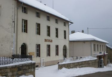
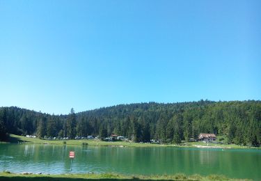
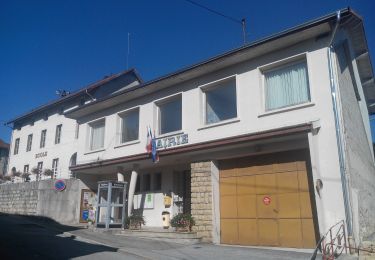
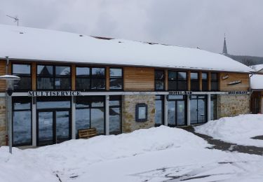
Trail Walking of 10.9 km to be discovered at Auvergne-Rhône-Alpes, Ain, Charix. This trail is proposed by stef789.
rando vraiment pas géniale ...


22 photos in total. Please click on a photo to see them all in the gallery.
Walking

On foot

Motor

Walking
Walking
On foot
On foot
On foot
On foot