


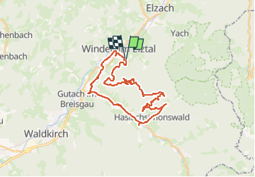

13.4 km | 24 km-effort


User


FREE GPS app for hiking
 SityTrail
IGN / Geographical institutes
SityTrail World
The world is yours!
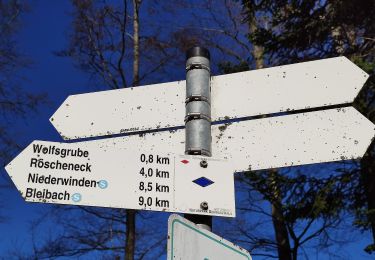
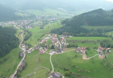
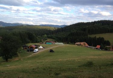
Trail Electric bike of 32 km to be discovered at Baden-Württemberg, Landkreis Emmendingen, Winden im Elztal. This trail is proposed by apa.
panoramique


On foot
On foot
On foot
On foot
On foot
On foot

On foot
On foot

Mountain bike